Running the WUU2K marathon route for Wellington Anniversary Day
- Distance
- 41.6 km
- Vertical gain
- 1,855.5m
- Duration
- 0d6h58m
Everything was lined up:
- I had less than a week until my move to Christchurch
- The weather was perfect
- I was fit enough to run a marathon, maybe
- It was Wellington Anniversary Day
- I had told a bunch of people I would do this before leaving Wellington
I had more or less experienced each individual section of the WUU2K route over the years so nothing would be unfamiliar. I opted for the marathon route as it’s a bit more sensible than the ultra (a more sensible route and also more sensible for my body).
Without overthinking it, then, the night before the run I asked my flatmate to give me a ride to the start line. He kindly obliged and before I knew it I was on the trail!
I mentally broke down the trail into four sections.
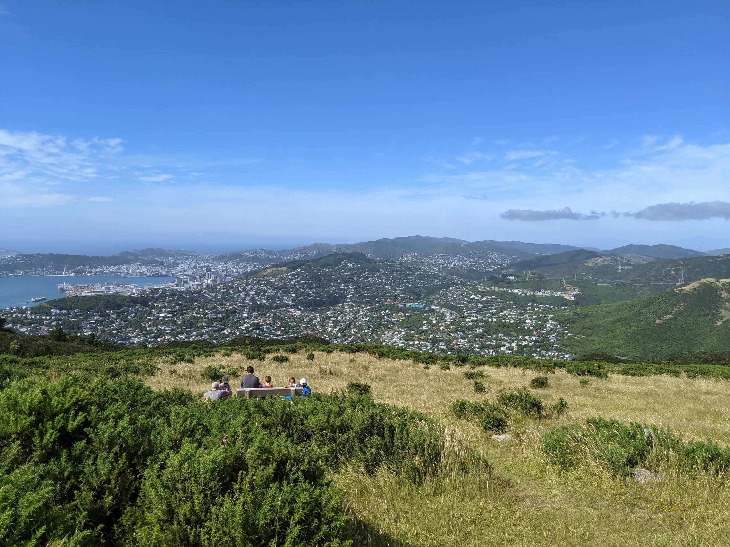
Section 1: Skyline Walkway (Runway?)
My favourite stretch of the run! After a quick walk to Mt Kaukau it’s lovely running along the undulating Skyline Walkway. In worse weather this track gets some awful wind, so be prepared for that.
Section 2: Makara Peak to Wrights Hill
Now for the best bush trail on the entire route. A solid downhill along a 4WD track then on to Lazy Fern downhill bike track. This was the dodgiest part of the marathon; during the event I’m guessing they close this track but in my case I had to remain vigilant for any bikes approaching from behind. Thankfully it’s blissful smooth trail and pleasant to get done quickly.
Then it’s up Salvation Track, a gentle uphill which is quite runnable. Cross the road near the top of the hill to continue along the trail.
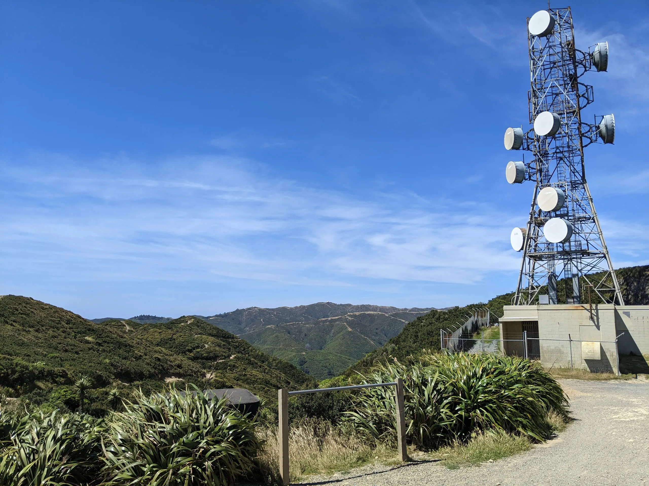
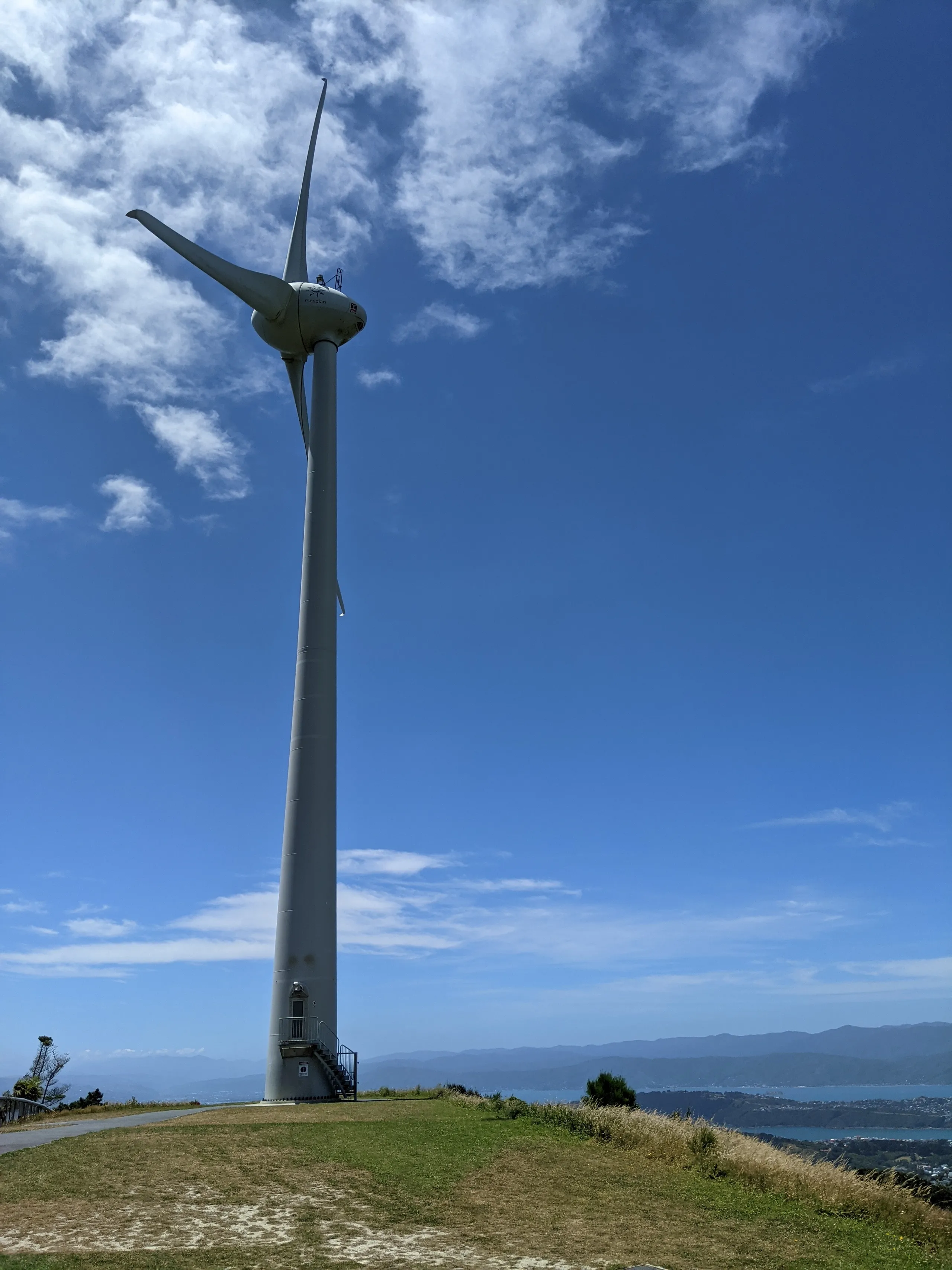
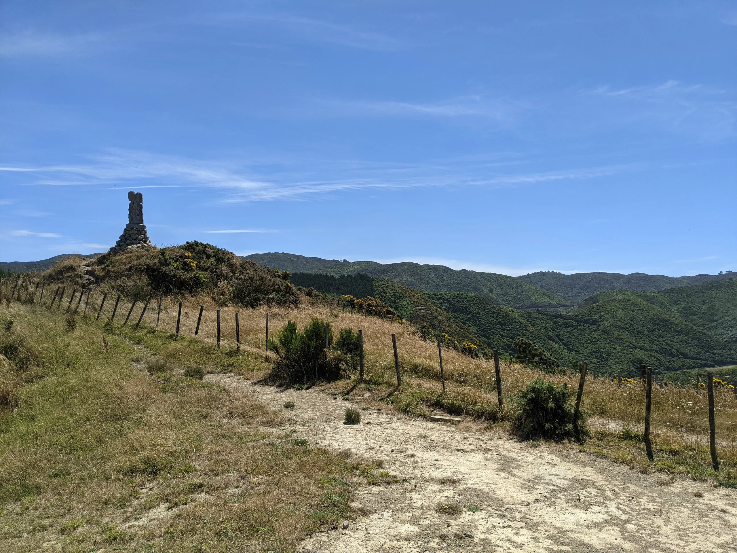
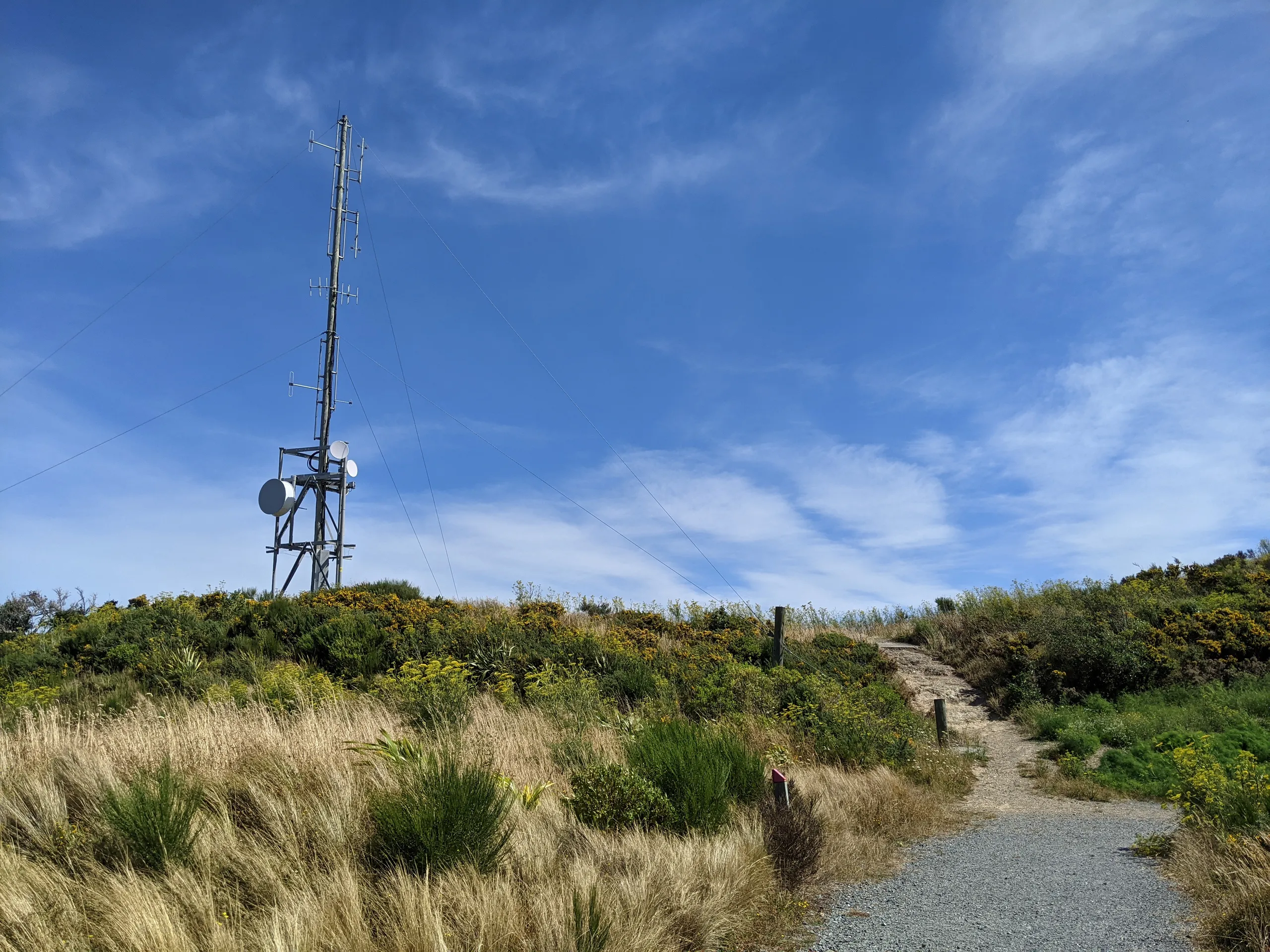
Section 3: Zealandia fenceline
A simple but steep 4WD section to the turbine. The legs were really starting to feel it now and I began to fade a bit.
Section 3: Tip Track and Island Bay
Backtracking from the turbine but now on the other side of the road, the trail is good going all the way to Hawkins Hill. It was still slow travel on weary legs.
The tip track heads down to Happy Valley from here and is easy cardio-wise—but like a jackhammer on the knees.
Just before the Berhampore Golf Course there’s a compact but confusing mess of trails known as Tawatawa Reserve. I became lost here despite knowing I wanted to head to the golf course, despite having visted this area the week before and despite colour-coded trail maps throughout the park.
The official route from The Parade up to Mt Albert Road is also unclear. It appears the route heads directly up the hill. I think I found the intended track but it was so overgrown as to be unnavigable. I opted for the longer left track instead.
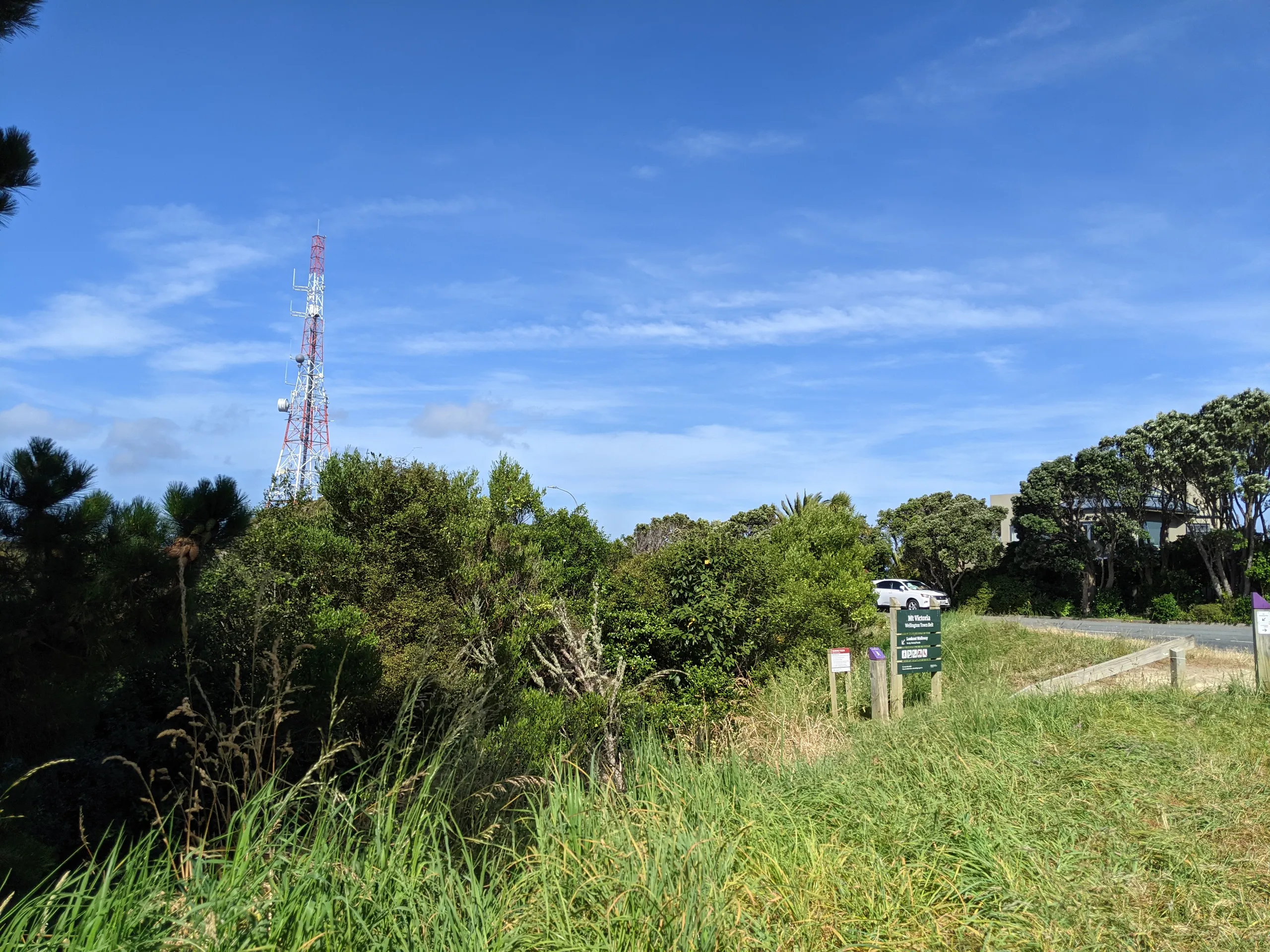
Section 4: Southern Walkway
I was familiar with this one. Mostly just follow the signs, but pay attention to the shimmy past the zoo: there’s no need to go up to Truby King park so just get onto the hill road as soon as possible. Further along, take the detour along the left of the velodrome, then it’s straight up to the summit. This entire section I wasn’t doing much running. Better nutrition probably would have helped.
I struggled to walk for the rest of the day, but the sense of achievement more than made up for it. How cool is it that this marathon route is almost entirely on good-quality trail close to town and only crosses three major roads? I’ll miss you, Wellington!