Mt Matthews Track
- Distance
- 26.2 km
- Vertical gain
- 1,292.4m
- Duration
- 0d6h22m
There are some astonishing bushwalks in the Wellington region, and Mt Matthews track is a prime example. For the highest peak in the Remutaka Range, the trail to the summit is well-maintained and accessible (albeit steep!). At around 26km return from the Catchpool Valley carpark, it’s best attempted in summer with good weather. You’ll also want to bring a map, clothes and emergency preparations to survive the unexpected.
I did the track on New Year’s Day to ring in 2021 with plenty of sweat and vertical gain. The weather was exceptional: sunny, calm and just the right temperature.
The track to the summit consists of three tracks: Orongorongo Track, Big Bend Track, and Mt Matthews Track.
Orongorongo and Big Bend Tracks
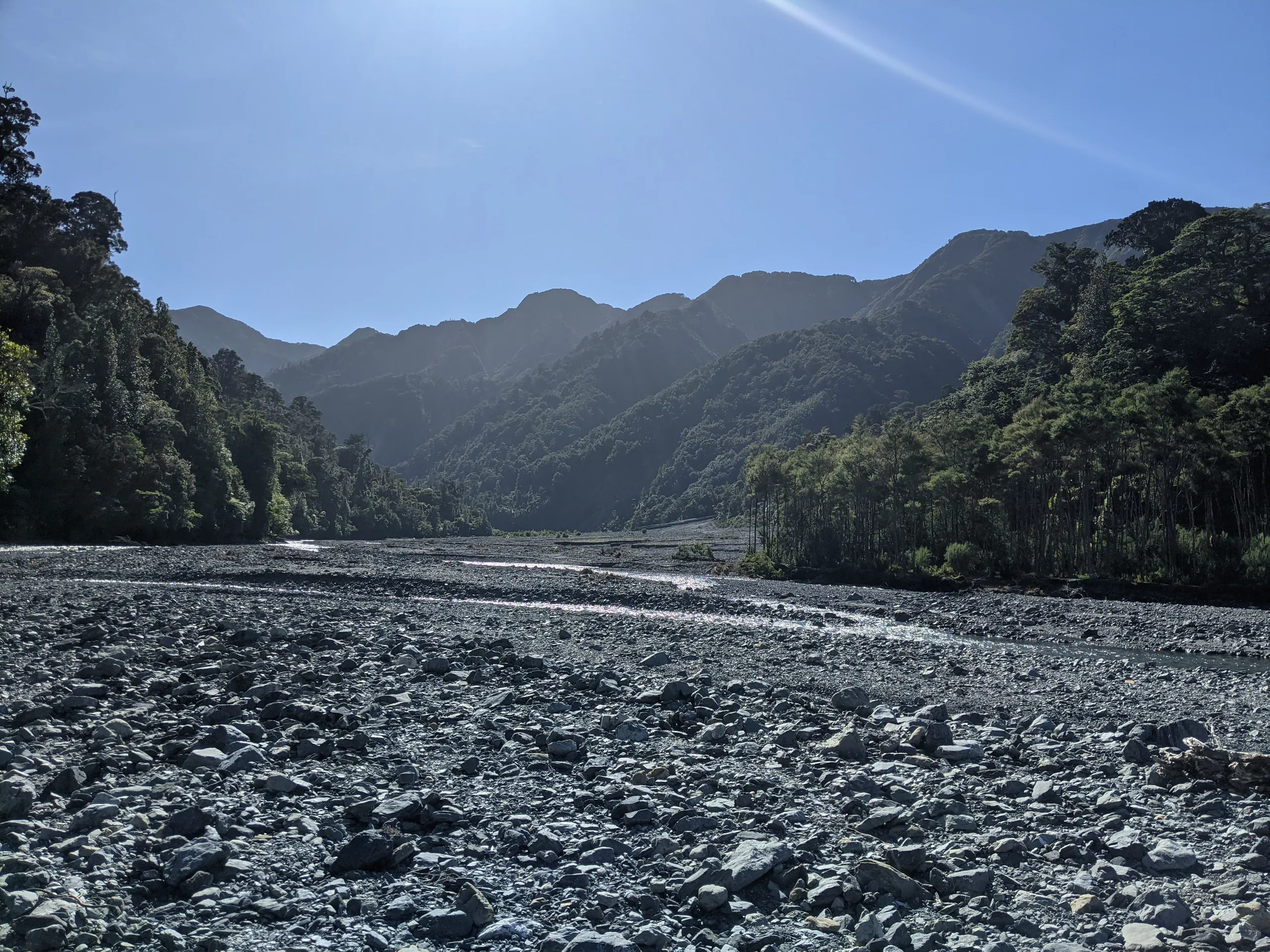
The first 8km is along these tracks. They’re great non-technical tracks so I decided to run them in both directions. This reduced the 9-10 hours return DOC time to around 6 hours. Follow Big Bend Track past Haurangi Hut to the junction with Whakanui Track. Then cross onto the riverbed and start looking for Matthews Stream to the true left of the river.
Mt Matthews Track
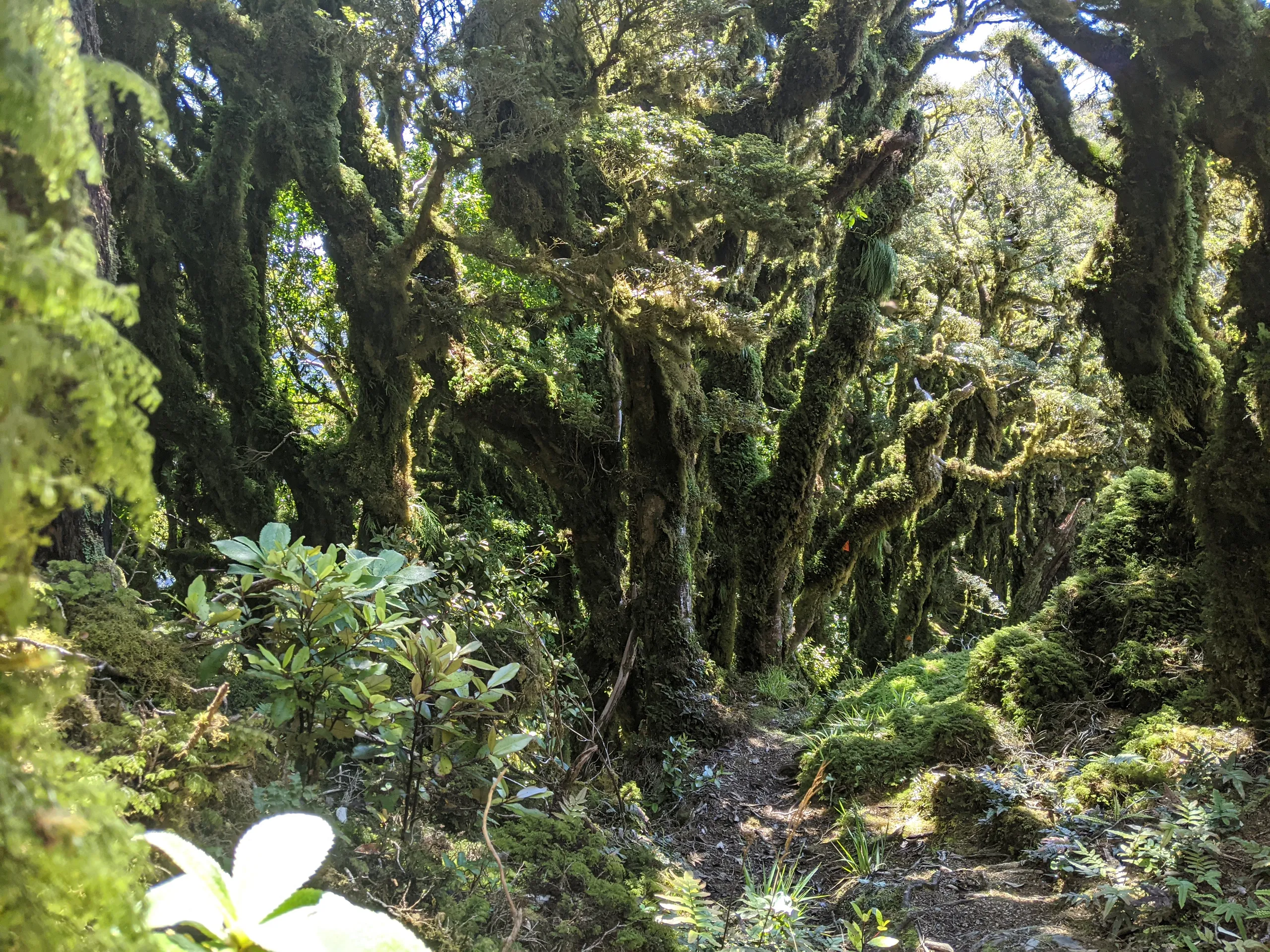
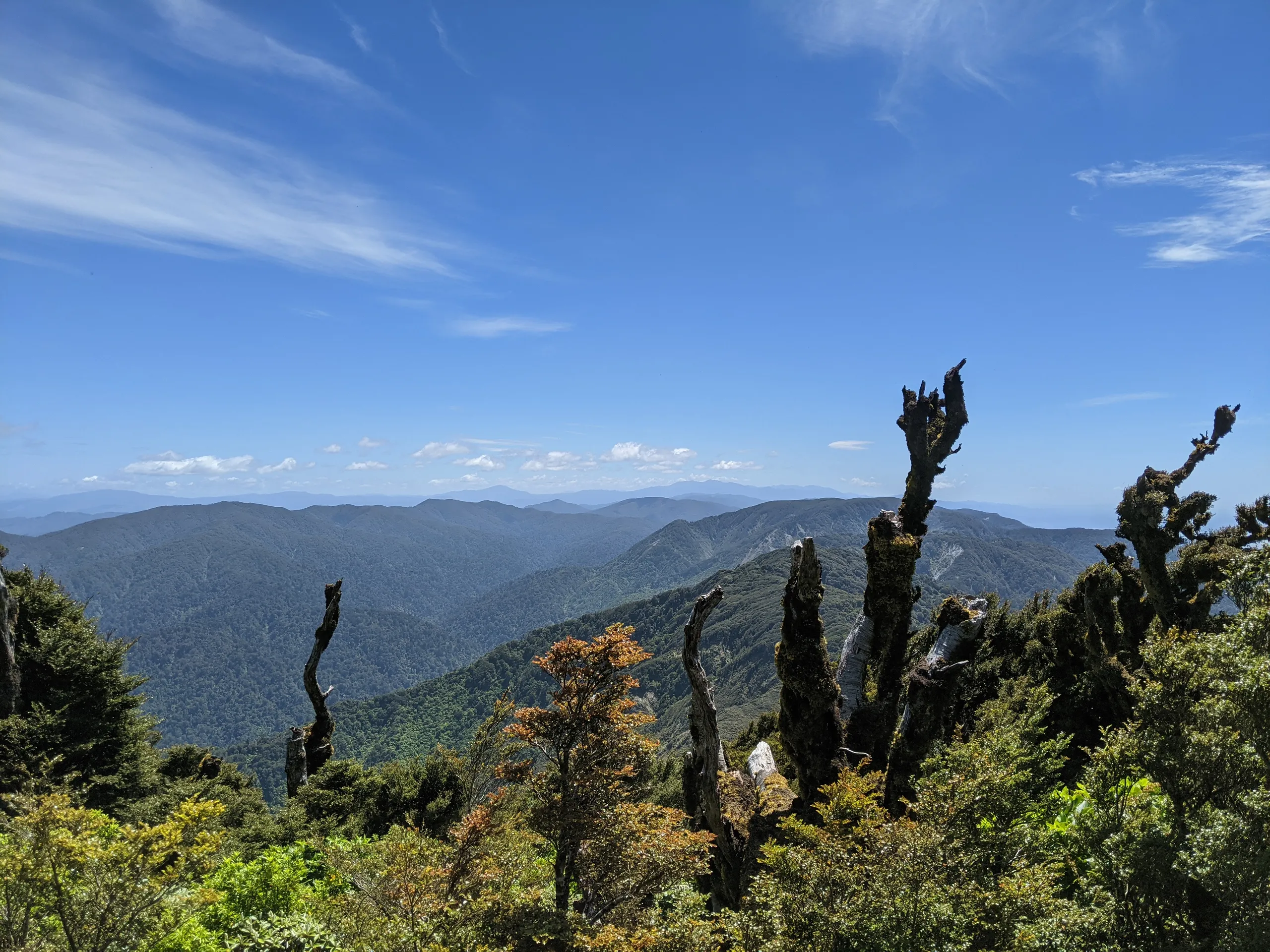
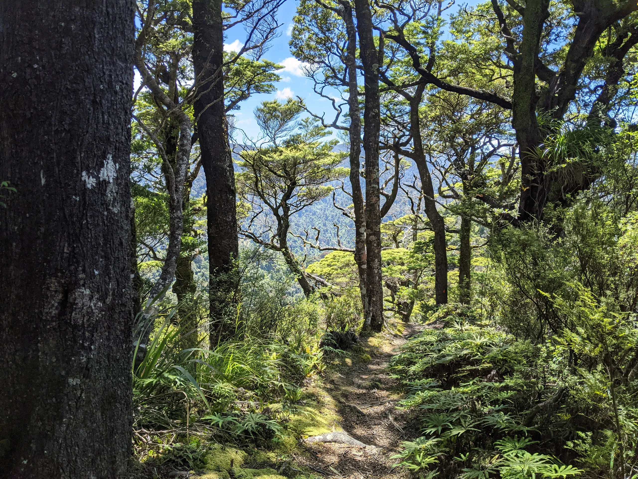
This is the meaty bit. With well over 750m of vertical gain in 5km, I decided to walk this section. It’s a straightforward track with tons of roots for steps. It levels off near the top. I didn’t see another soul in either direction.
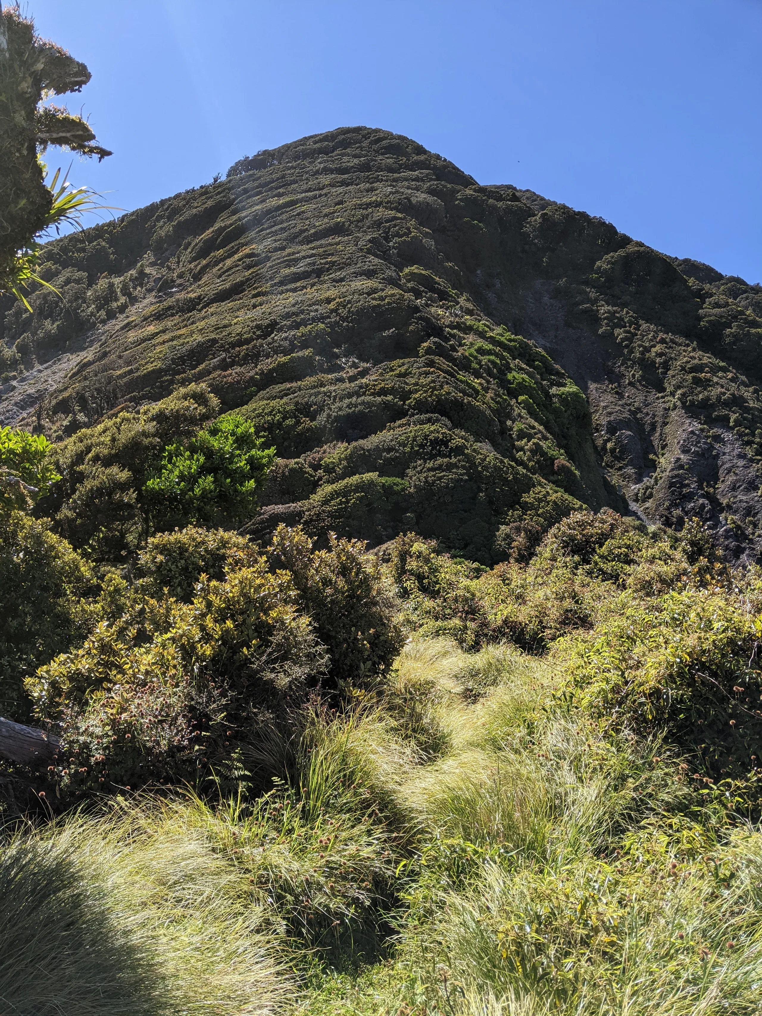
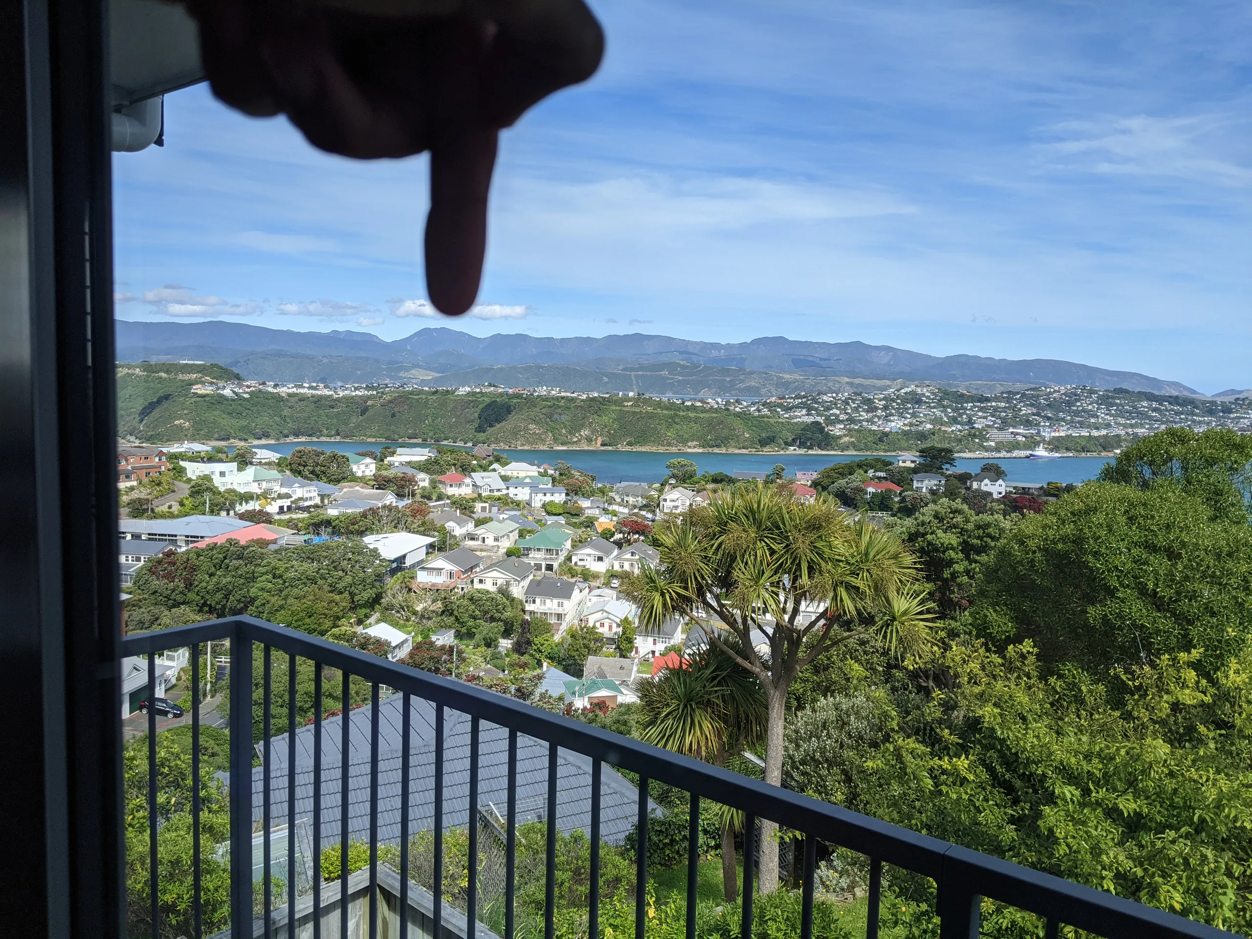
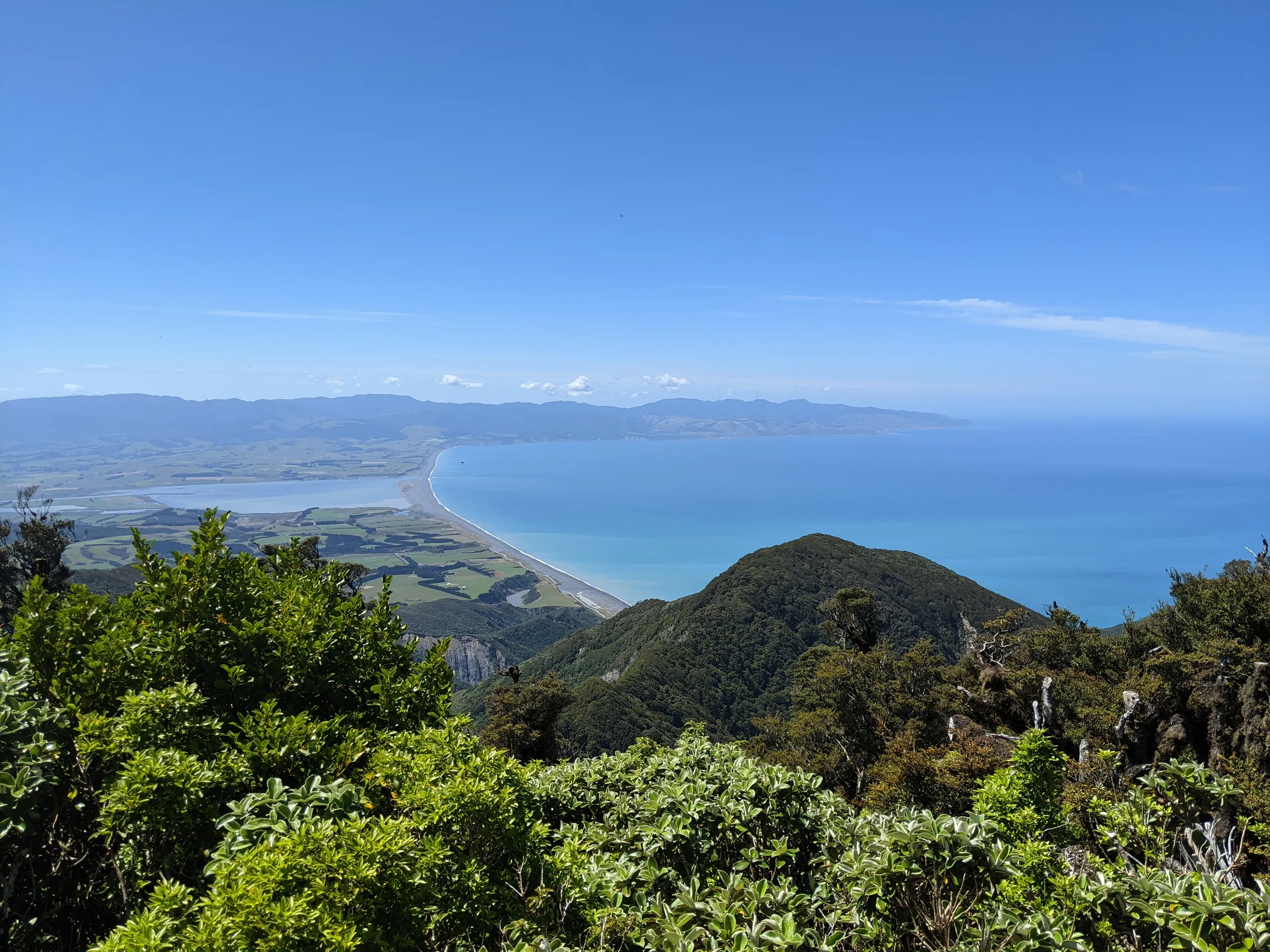
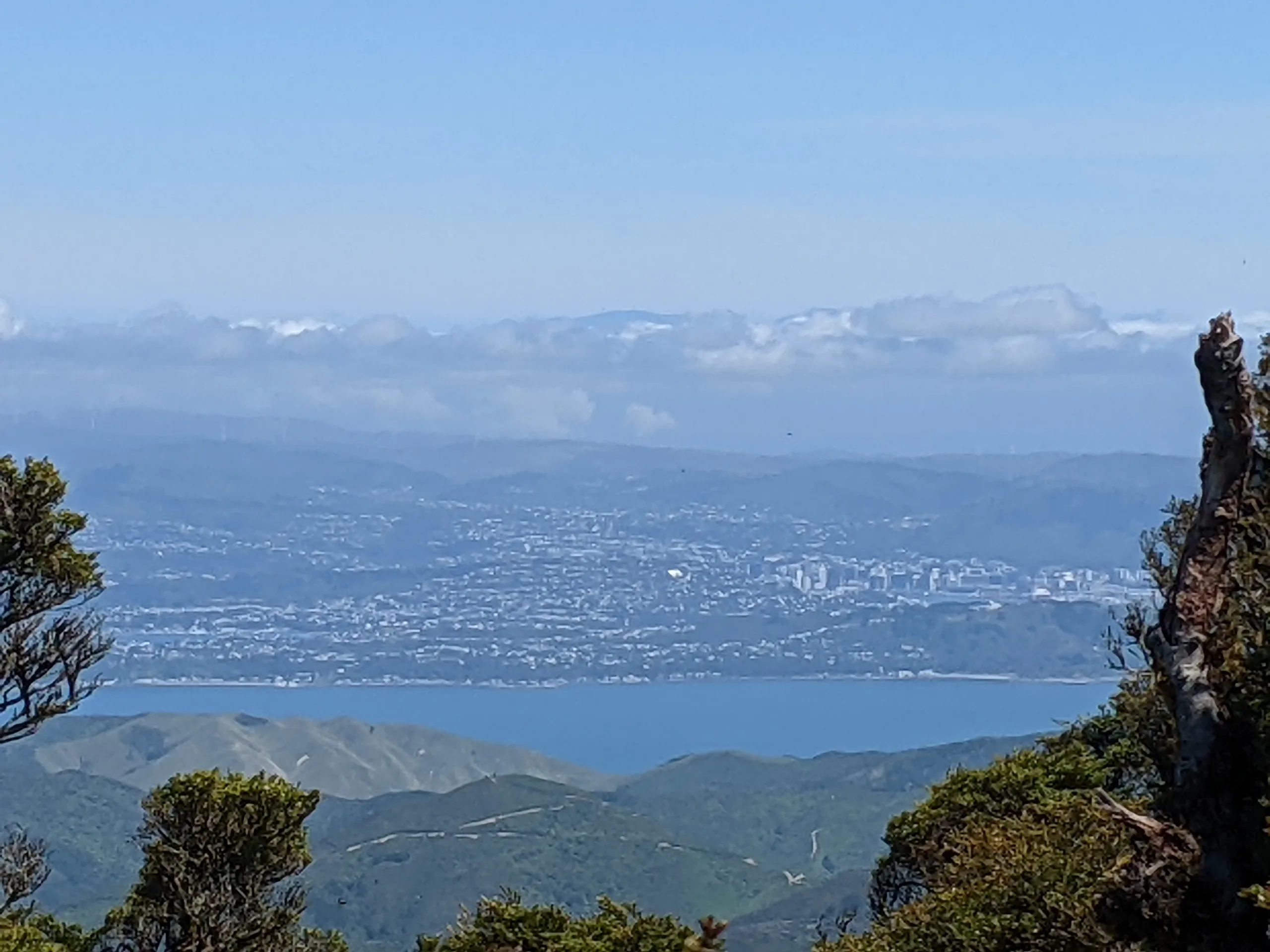
If you’re short, the summit may be underwhelming; at only 941m altitude, the peak is forested and I needed to step on a log to see above the bush. Peeking above the trees, the view spans in three directions: Palliser Bay, Wellington, and Remutaka Range.
The return
I exited in similar fashion: walking down to the river, then running Big Bend and Orongorongo Tracks back to the car. I was exhausted and probably should have taken more food.
Climbing up Mt Matthews was a special experience—more special than I thought it would be. The mountain is visible from almost everywhere in Wellington and while descending the track, I pondered that fact: in a way, the mountain had been in the backdrop of my entire Wellington upbringing and clambering up its slopes had made me appreciate that fact. It somehow seems corny to write it, but here goes: I don’t think I have ever felt so connected to the land. This walk has left a lasting impression. If you’ve got a day to adventure in Wellington—and certainly if you live there—I hope you consider Mt Matthews Track and perhaps have a similar experience to mine.