Kaituna Valley to Mt Herbert / Te Ahu Patiki
- Distance
- 22.1 km
- Vertical gain
- 1,061.2m
- Duration
- 0d3h42m
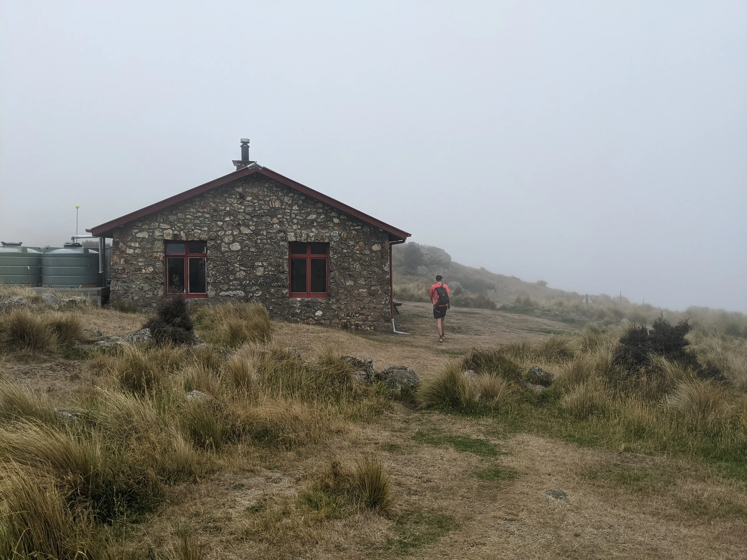
Mt Herbert / Te Ahu Patiki is commonly accessed from the north, from either Charteris Bay or Diamond Harbour. We decided to approach from the south, leaving the car at the Parkinsons Road carpark in Kaituna Valley and headed up the Kaituna Valley Packhorse Hut Track.
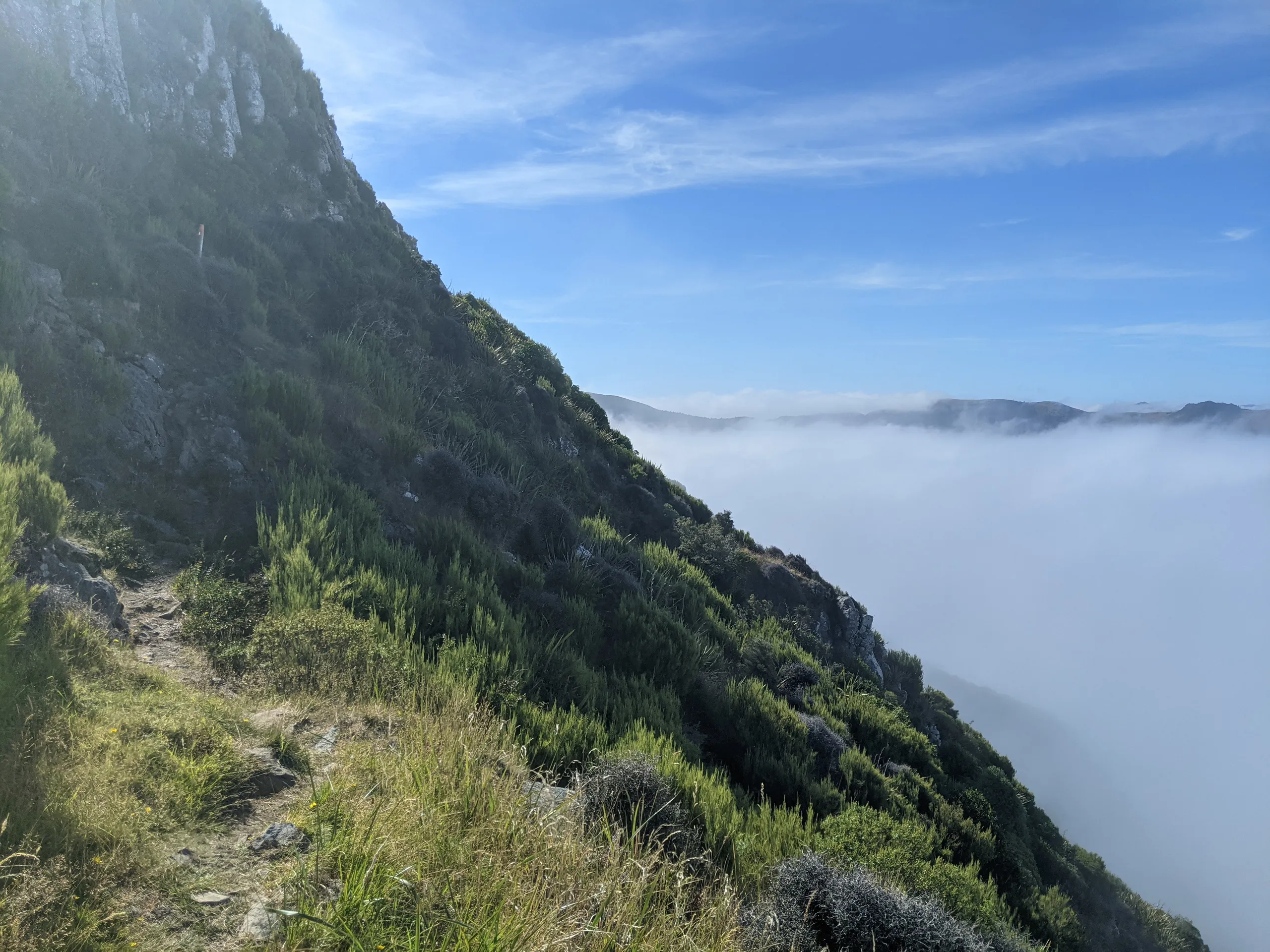
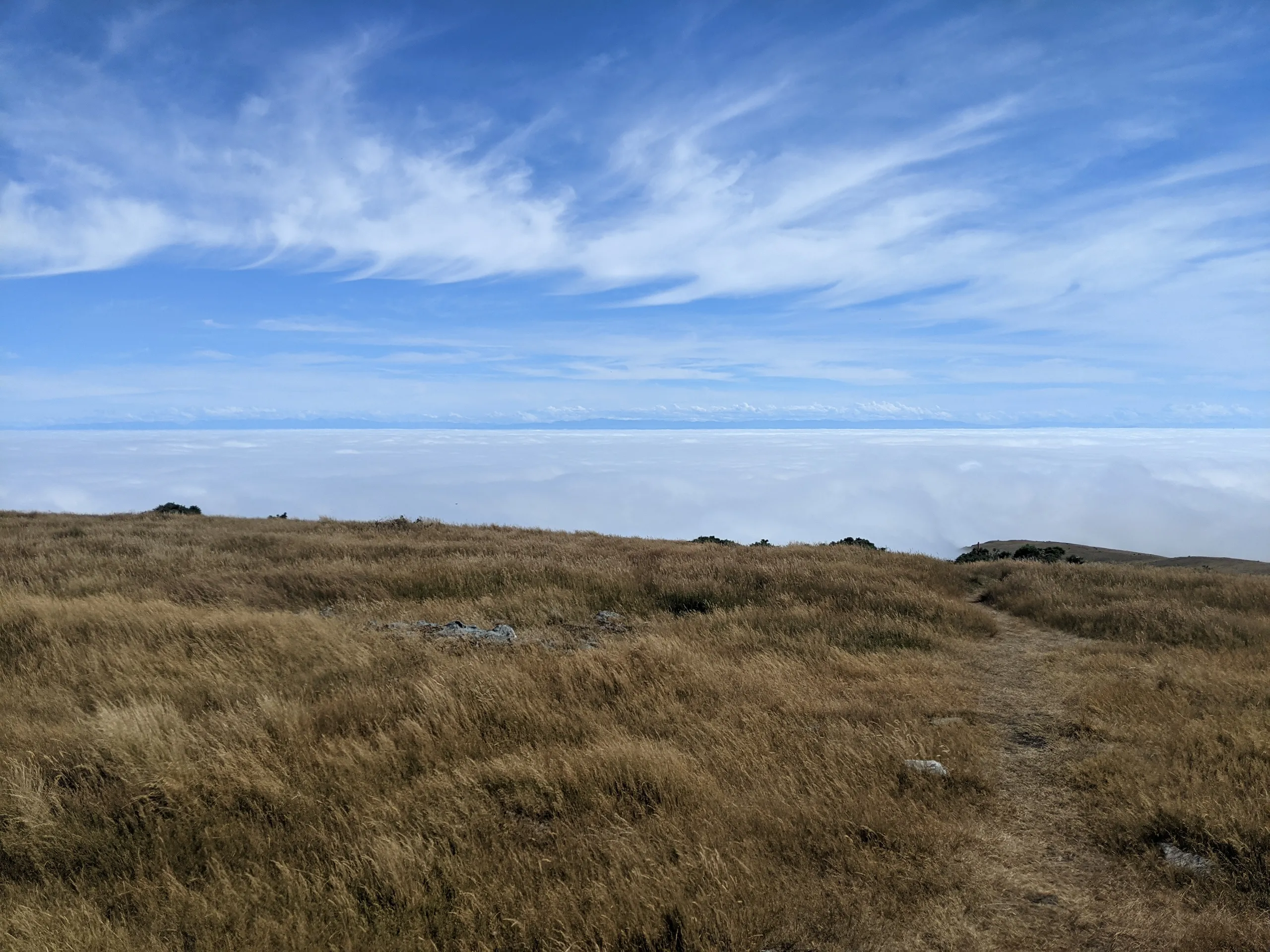
We were worried that the cloud would mean no views. But as we climbed higher along the steep (and surprisingly lush) Te Ara Pātaka Walkway, it was revealed that the cloud was simply a low layer appearing to sit across the entire mid Canterbury region.
To form a bit of a loop, we returned to Packhorse Hut along Faulkner Track on the other side of Mt Bradley.
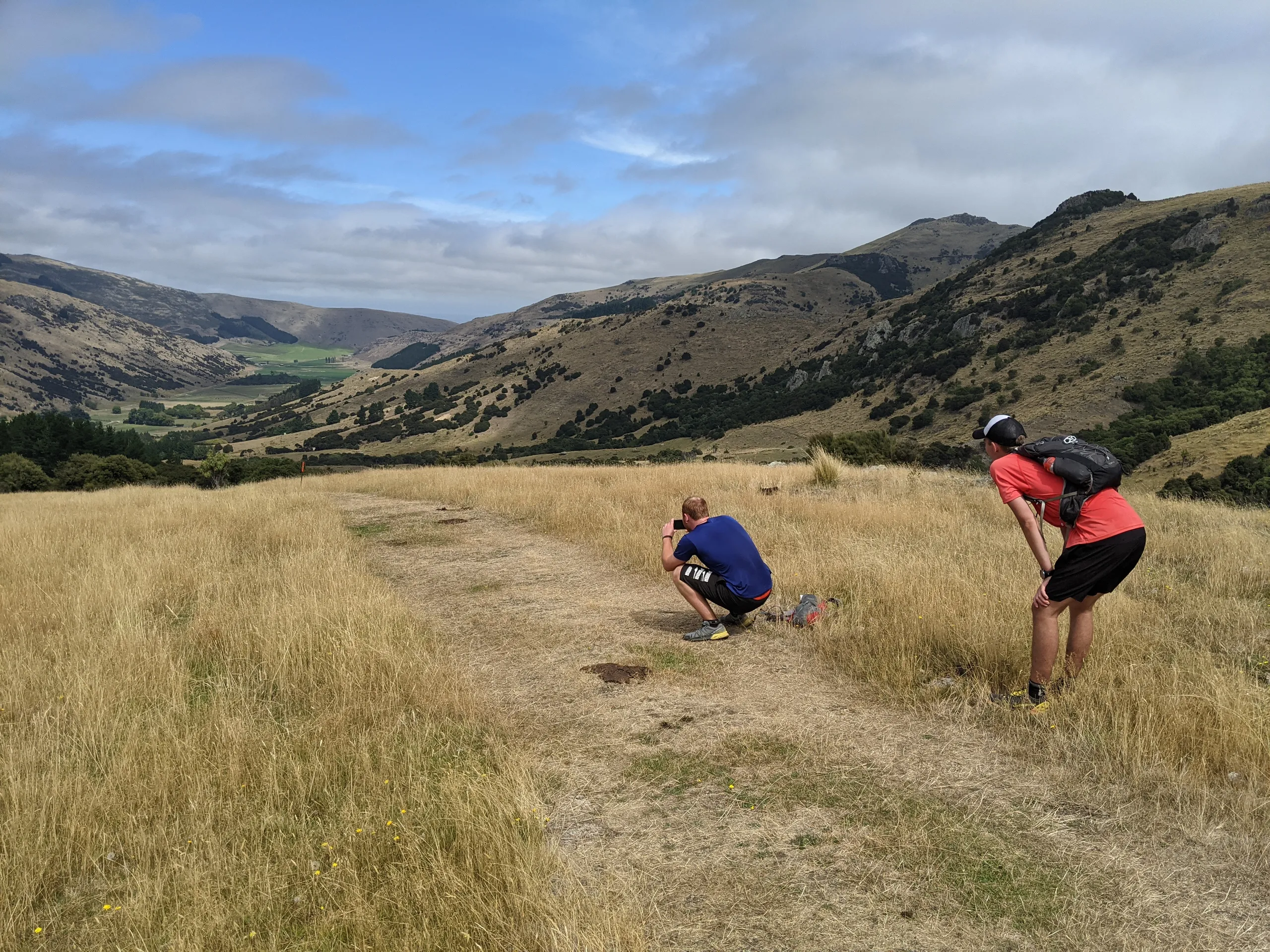
I would definitely recommend this for a day walk or run in the region. For a faster, fuller loop with some road running, consider continuing past Mt Herbert summit and decsending Monument Track and Kaituna Valley Road—that’s what I would try next time.