Granity Pass Hut and Mt Owen tops
- Distance
- 22.5 km
- Vertical gain
- 2,003m
- Duration
- 1d20h28m
Mt Owen tops always stood out on topo maps, so when I had the opportunity for a two-night solo trip, this was right near the top of the list.
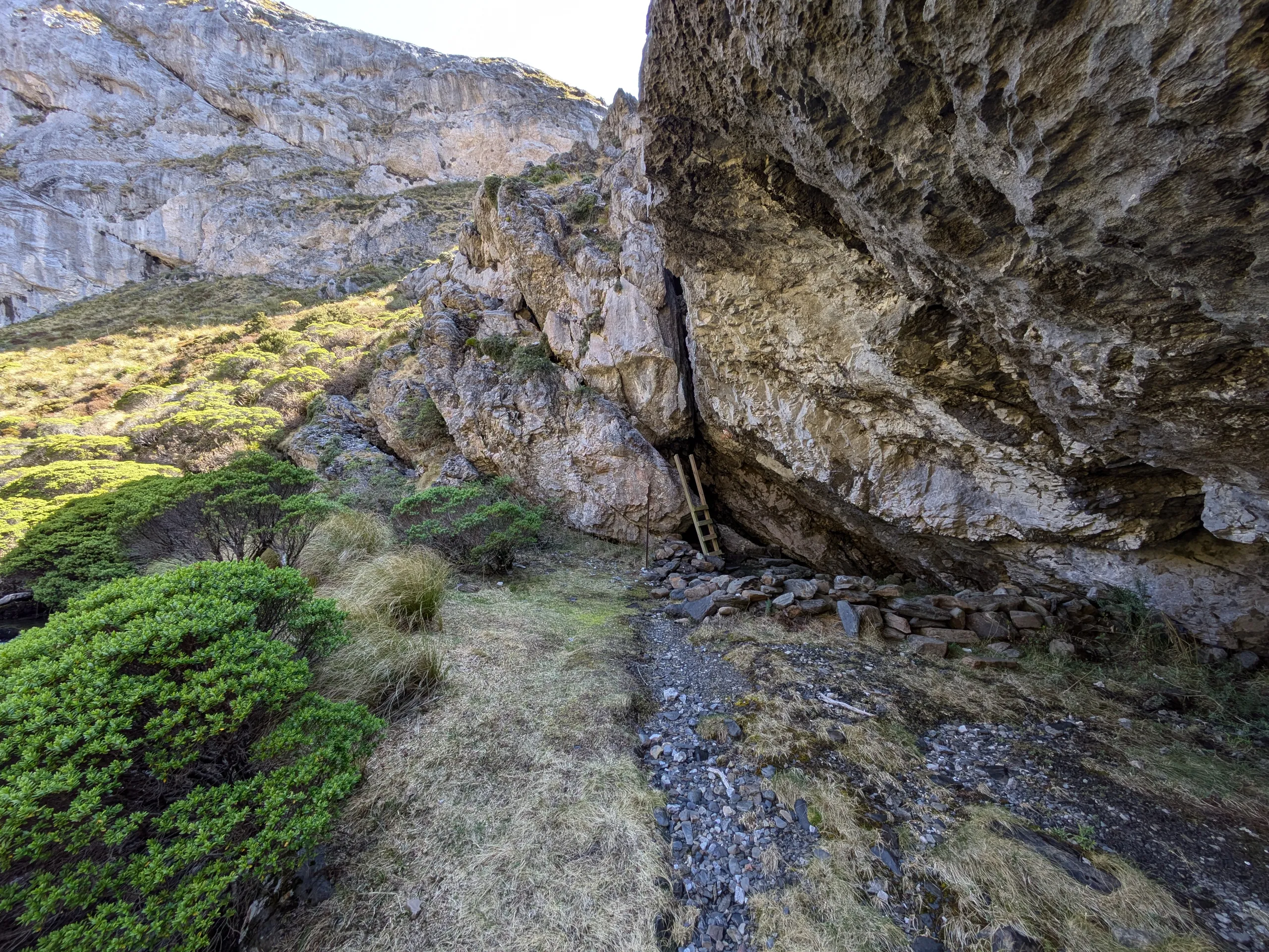
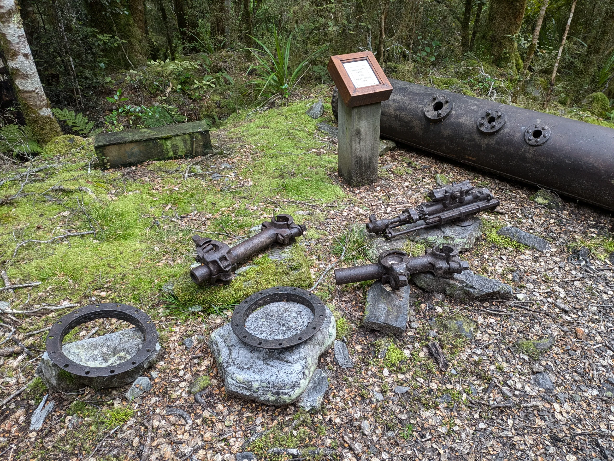
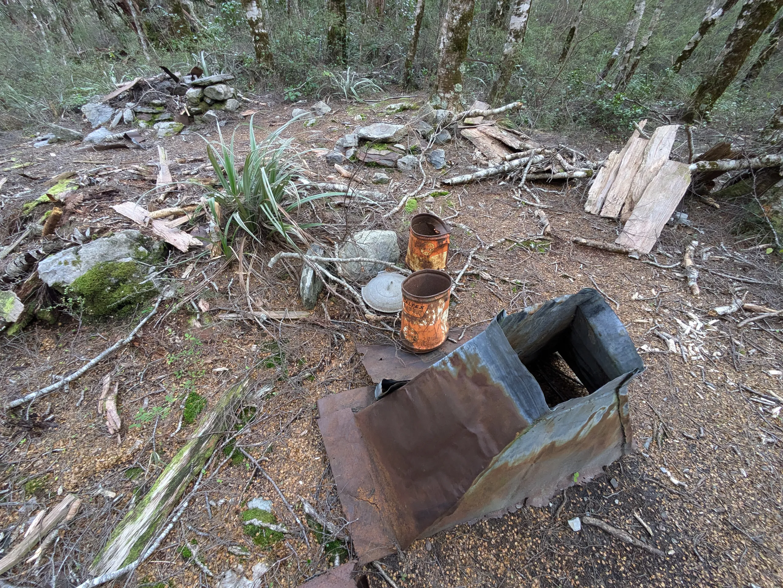
There are two ways up the hill from the Courthouse Flat trailhead: up the spur or via Blue Creek. I entered up the spur and exited by Blue Creek. The creek is muddier, more secluded and steeper than the spur but has some lovely bush. It also passes by interesting mining artifacts on the flat lower section, including the stamping battery marked on Topo50.
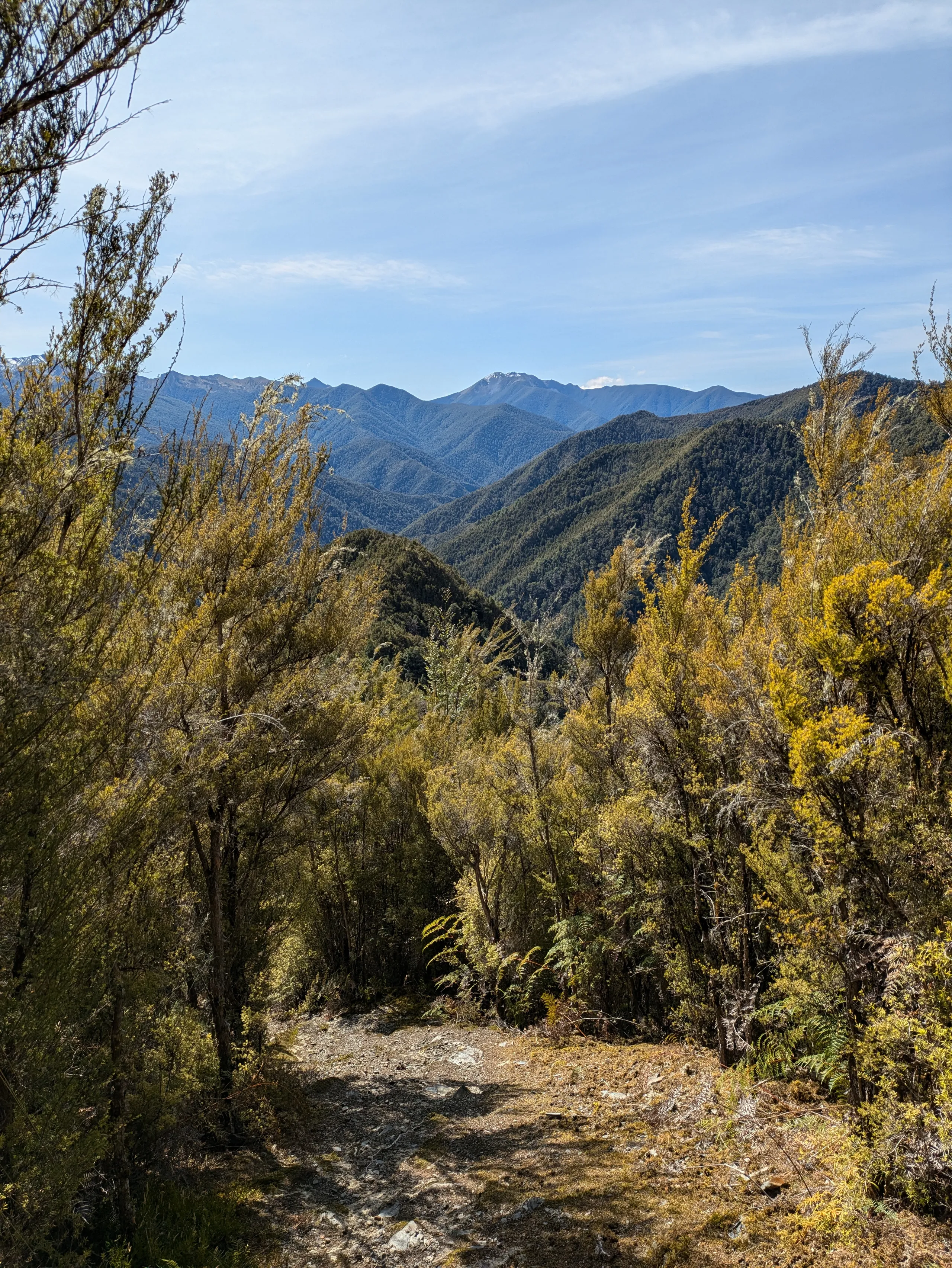
It’s a steady uphill slog to the sidle around point 1335. The section ominously marked “Staircase” on the map is indeed steep but thankfully required no scrambling or climbing.
After this point it’s a straight shot to the hut. The last section of the approach is along a streambed.
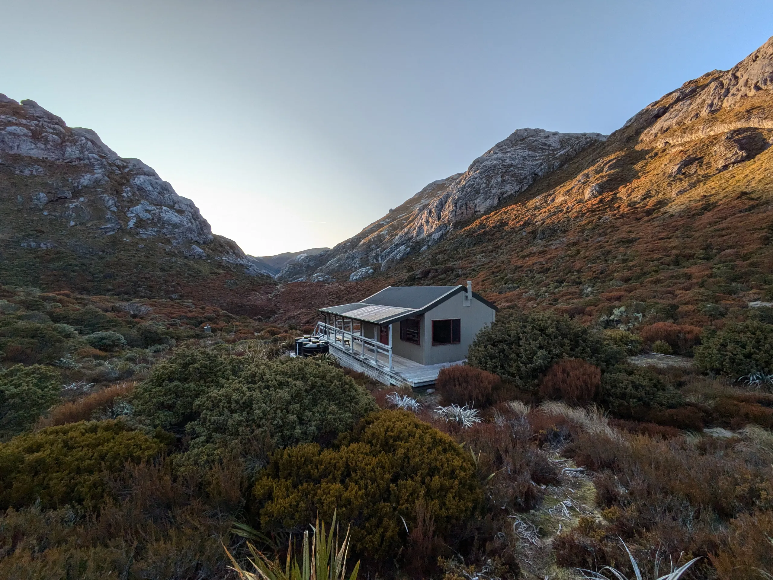
The hut is stunningly positioned in the open neck of Granity Pass with clear views up to the surrounding rock formations and tops.
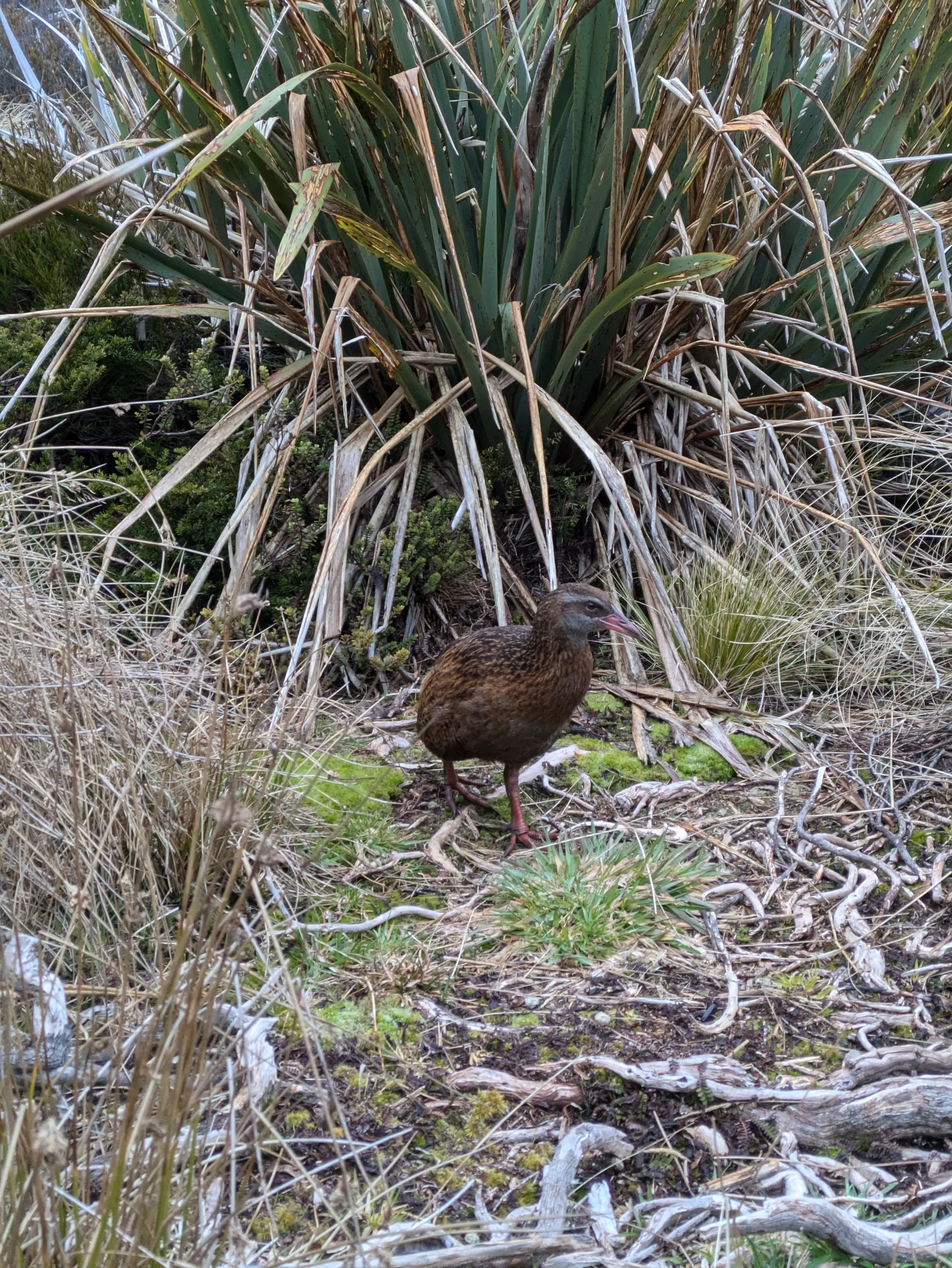
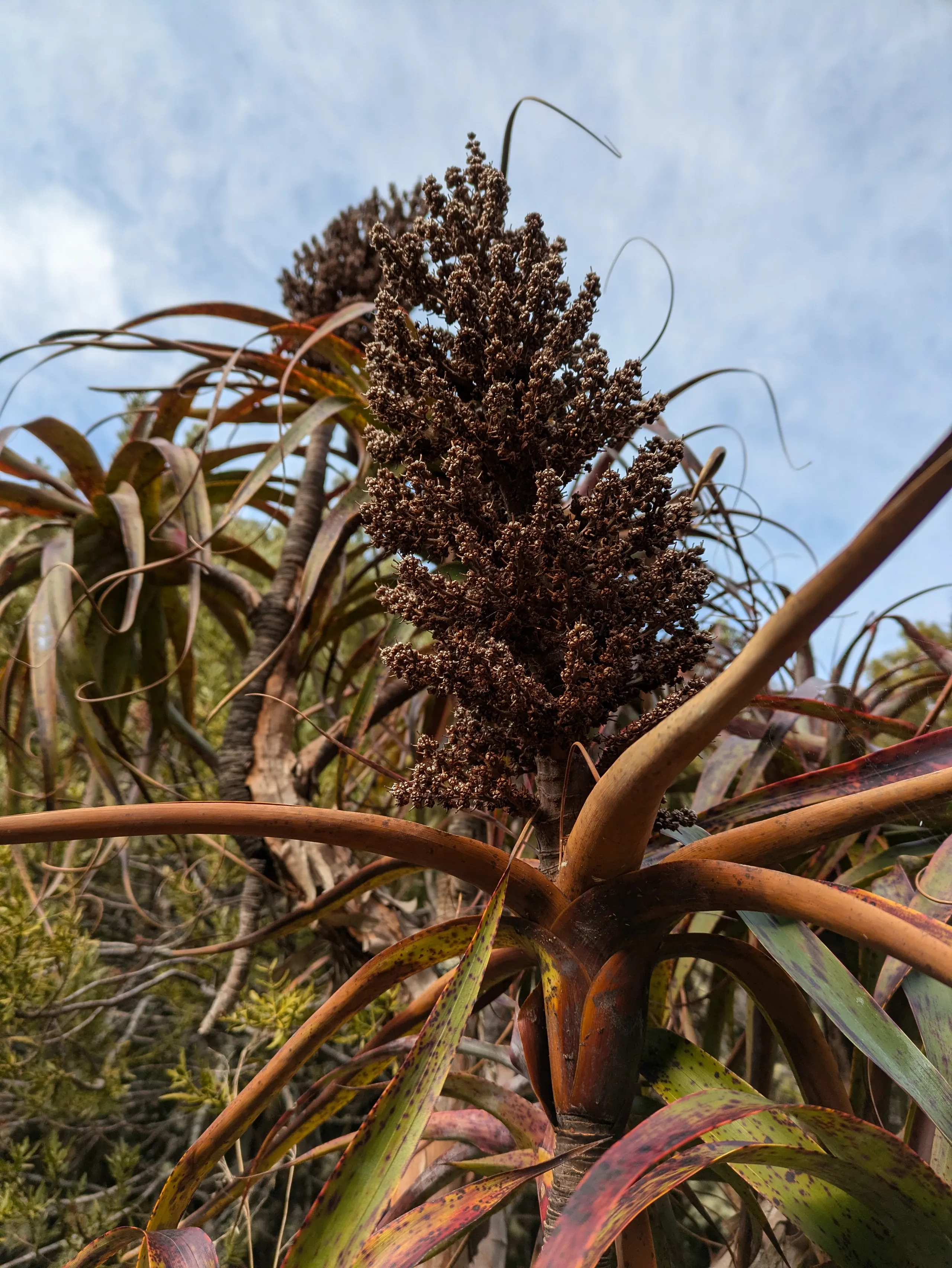
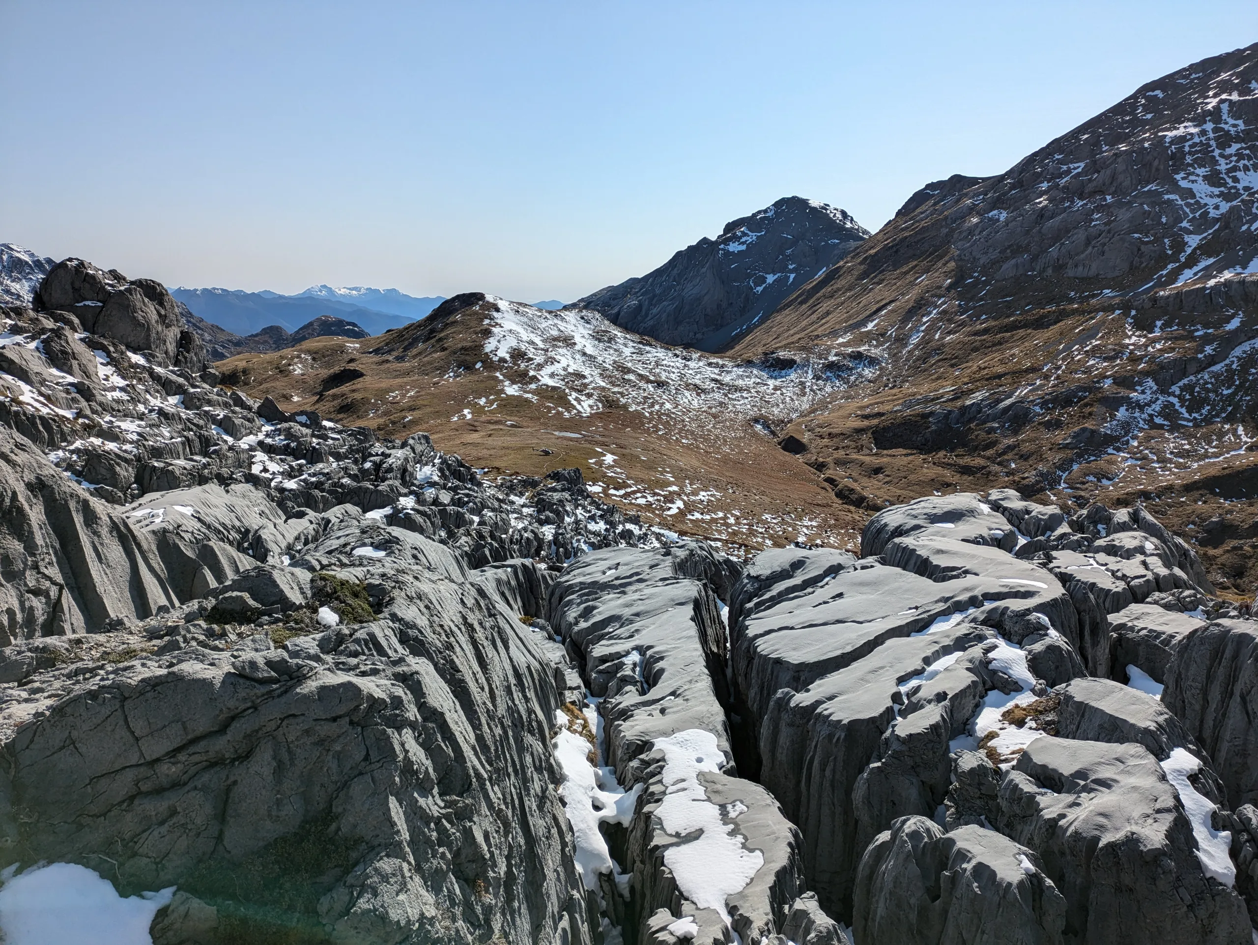
With two nights at the hut, I spent the next day exploring the open Mt Owen tops. This area is a bit of a playground for climbers and cavers at certain times of year. The scenery is astounding, with gnarly rock faces and disappearing streams. Sentinel Hill is just a short stroll above the hut and has excellent lines of sight to surrounding peaks. The path is not marked above the hut but is fairly well trodden.
I attempted Mt Owen summit during the day, but abandoned the effort due to the unsettling combination of ravines and late-season ice still settled around the place. I had little confidence that there was solid ground under any ice I stepped on!
As consolation, a pair of heli-tourists who had parked up at the base of the rocky peak handed me half a bottle of wine on my way back down, which I enjoyed at the hut with a book and some snacks. The afternoon was sunny and calm. I didn’t see a soul until the following day.