Edwards, Otehake, and Hawdon Valleys
- Distance
- 43.4 km
- Vertical gain
- 1,897m
- Duration
- 1d7h25m
The Edwards-Hawdon route is a popular Arthur’s Pass outing. We decided to add a side trip to the secluded Otehake Hut for our overnight adventure.
Day 1
After an early start and a disappointingly closed Sheffield pie shop, we got walking from Greyneys Shelter. It was an easy going three-and-a-bit hours up to Edwards Hut, where we stopped for a sit-down and some lunch.
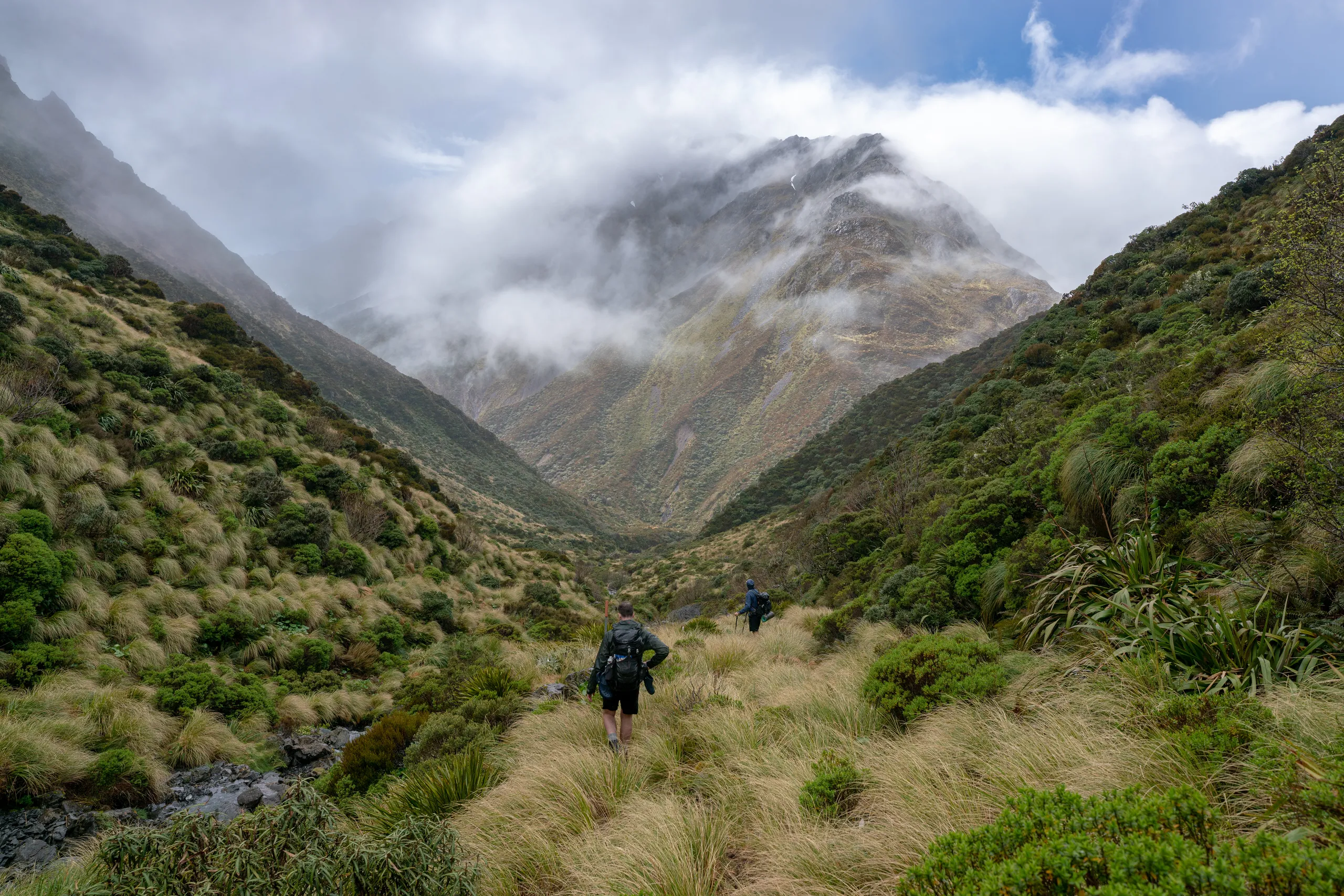
Beyond the hut the trail continues all the way to Taruahuna Pass, with the only addition being overgrown scrub and multiple small river crossings. The increasingly open surroundings really show off the surrounding mountains.
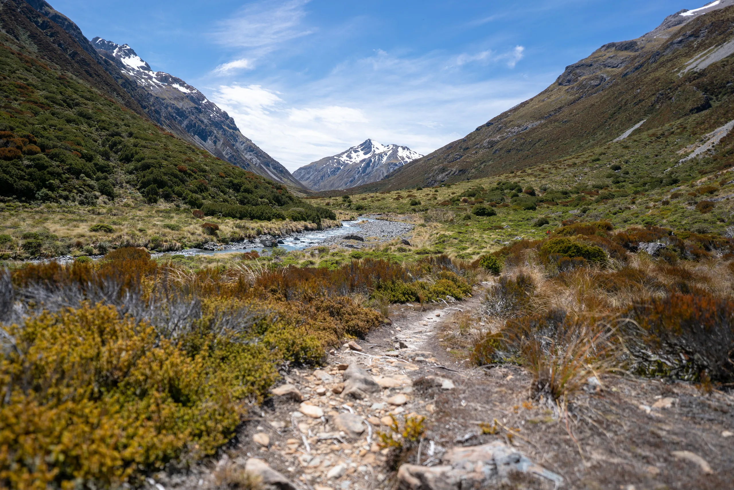
At the pass, travel converts to rock-hopping then sliding down loose banks towards Otehake River.
The track markers peel off to Tarn Col; to get down the valley, we picked a route that brought us out on the true right of the river as the terrain levels out at the bottom of the rockfall. From this point we could see a track marker leading us to the left. The marked track crosses all the way to the left of the valley, sidling through forest above the bluffs before descending at the main river junction. This is the route we took. Apparently it is also possible to simply follow the river between the bluffs when levels are low.
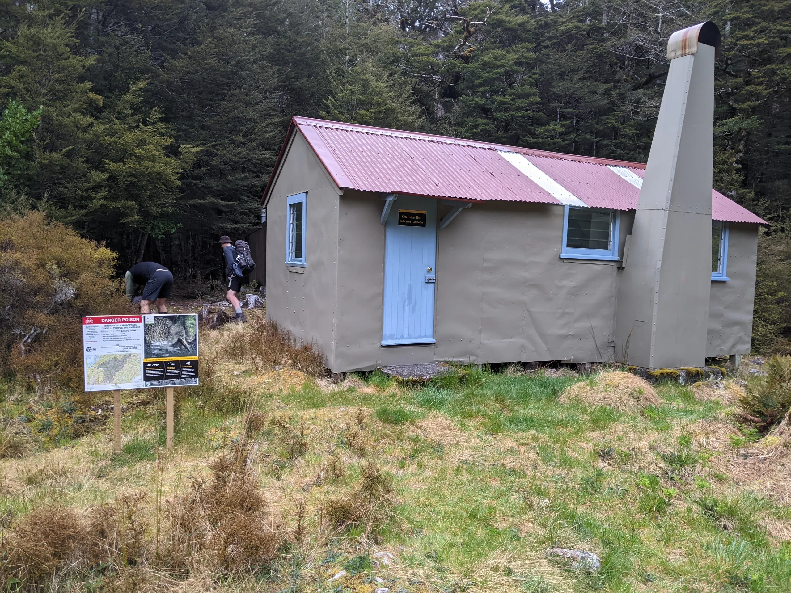
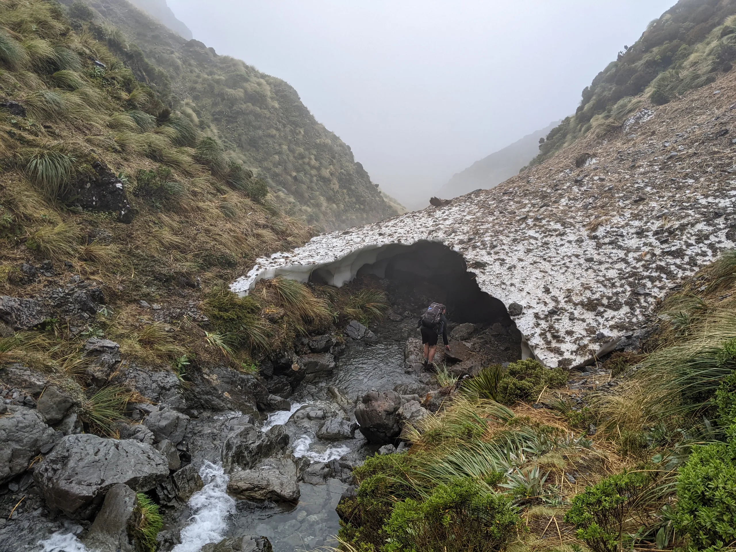
The track on the West Coast side of Taruahuna Pass is starkly different to the Canterbury side. The forest is more dense and markers harder to spot—there is a mix between orange DOC markers and white Permolat markers. Despite the slower travel we found our way across the river and on to Otehake Hut, where we prepared a pleasant cheeseboard before dinner.
Day 2
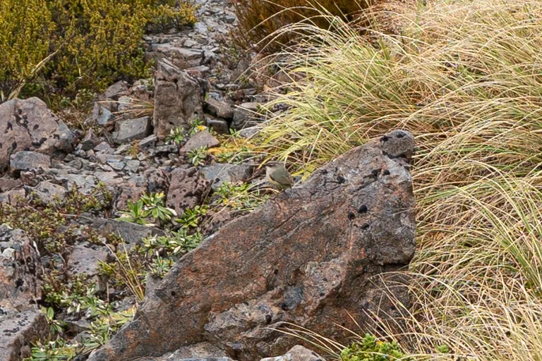
Allowing 10 hours for our exit day through Hawdon Valley, we got up nice and early. Backtracking to Taruahuna saddle was slow and steady; I found the steep climb up to the saddle easier than the descent. At the saddle we were greeted by a delightful sight: a pair of rock wren hopping between the rocks and calling to each other.
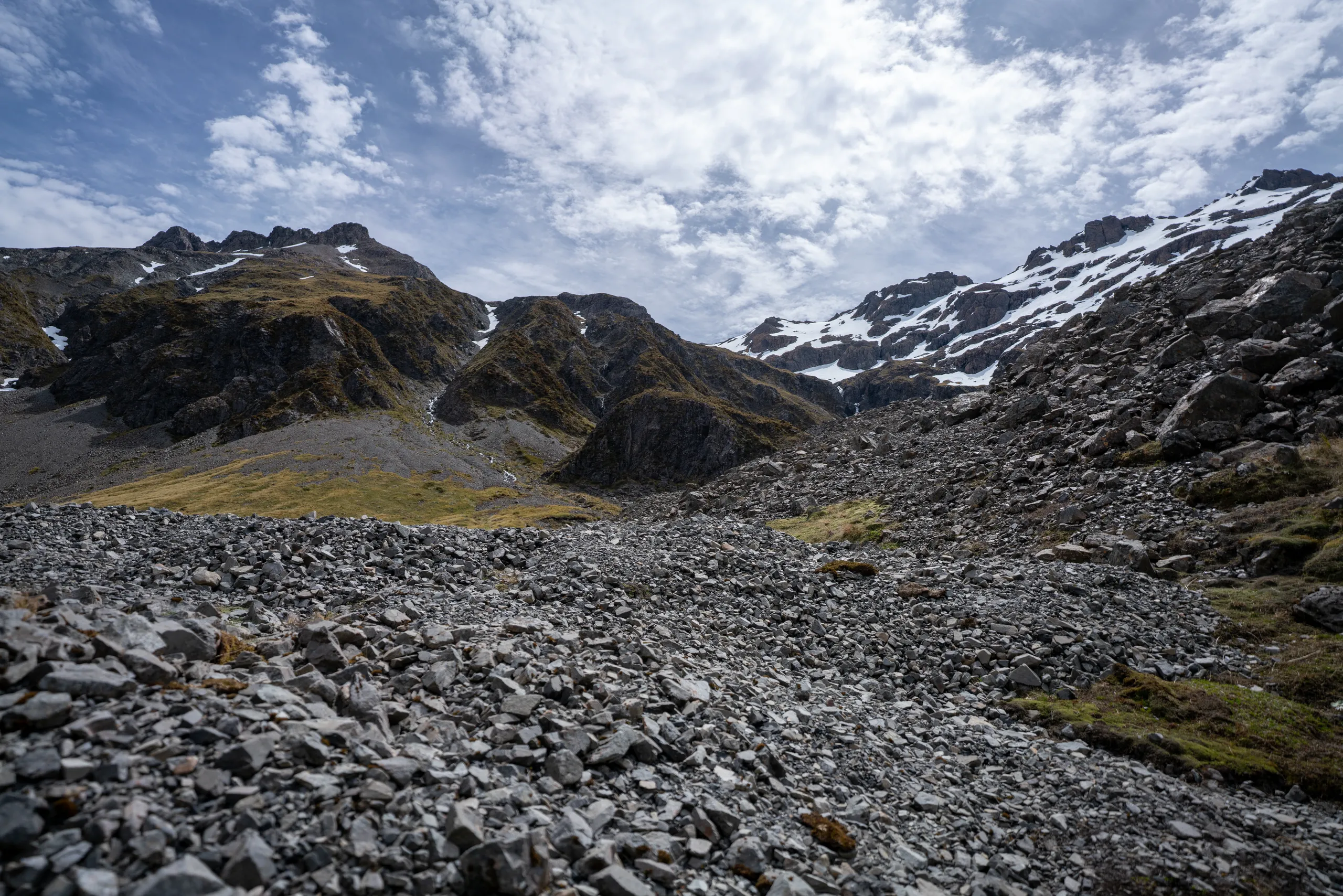
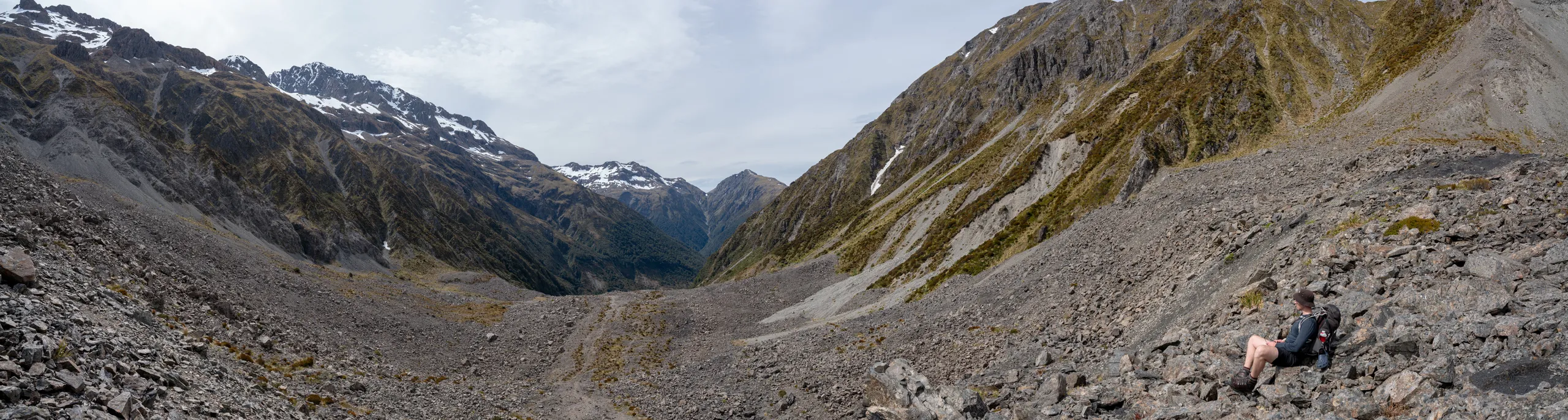
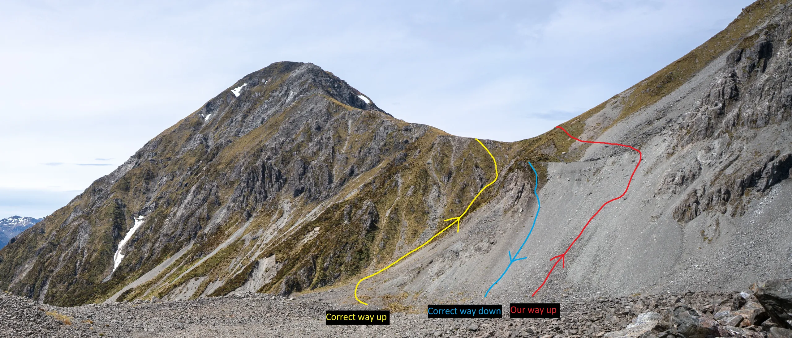
We turned our attention to the Tarn Col ascent. The face is an imposing wall of rock and in the clouded visibility we largely missed the poles marking the ascent route through vegetation, instead deciding to climb a scree face. As a scree novice, this was definitely out of my comfort zone—though possibly good practice for times when such an ascent would be necessary. For clarity, here’s a summary of the various routes which I devised after the trip:
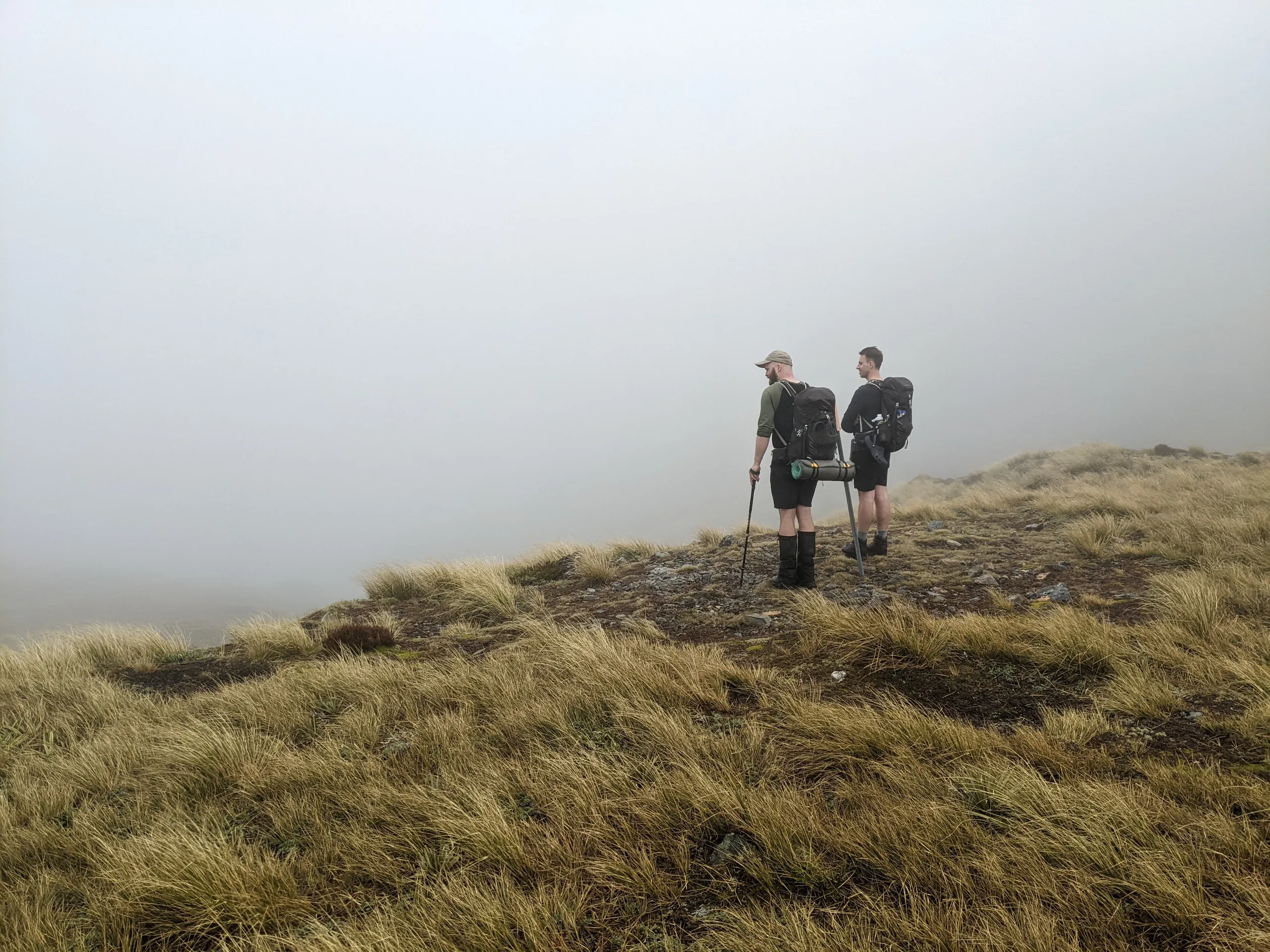
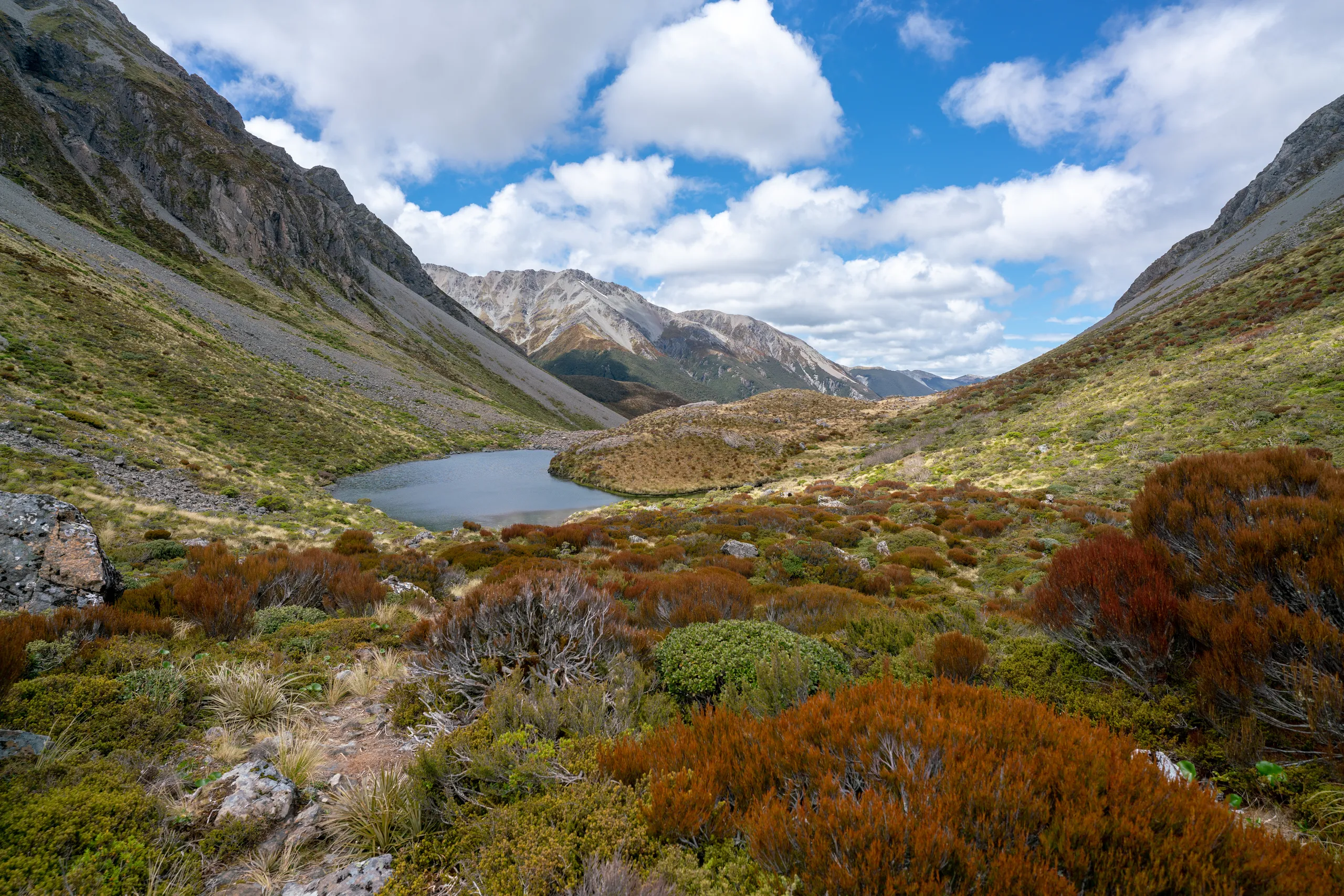
During breaks in the cloud, we glimpsed sights of the otherwordly tops up here. The rocky tussock atmosphere reminded me a lot of Routeburn, a track I also completed in damp grey weather.
The route is poled all the way down to the intersection with Otehake River East Branch. Follow that river upstream until the marked turn off towards Walker Pass.
With surprisingly fast travel through Walker Pass and out Hawdon Valley, we made it out safely after a 9-hour day.