Edwards Hut Track
- Distance
- 18.5 km
- Vertical gain
- 2,383.2m
- Duration
- 1d1h50m
Map is loading
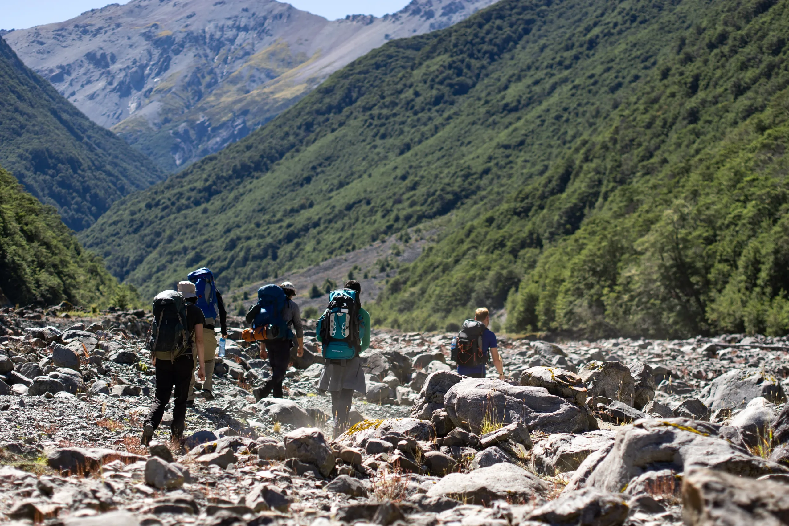
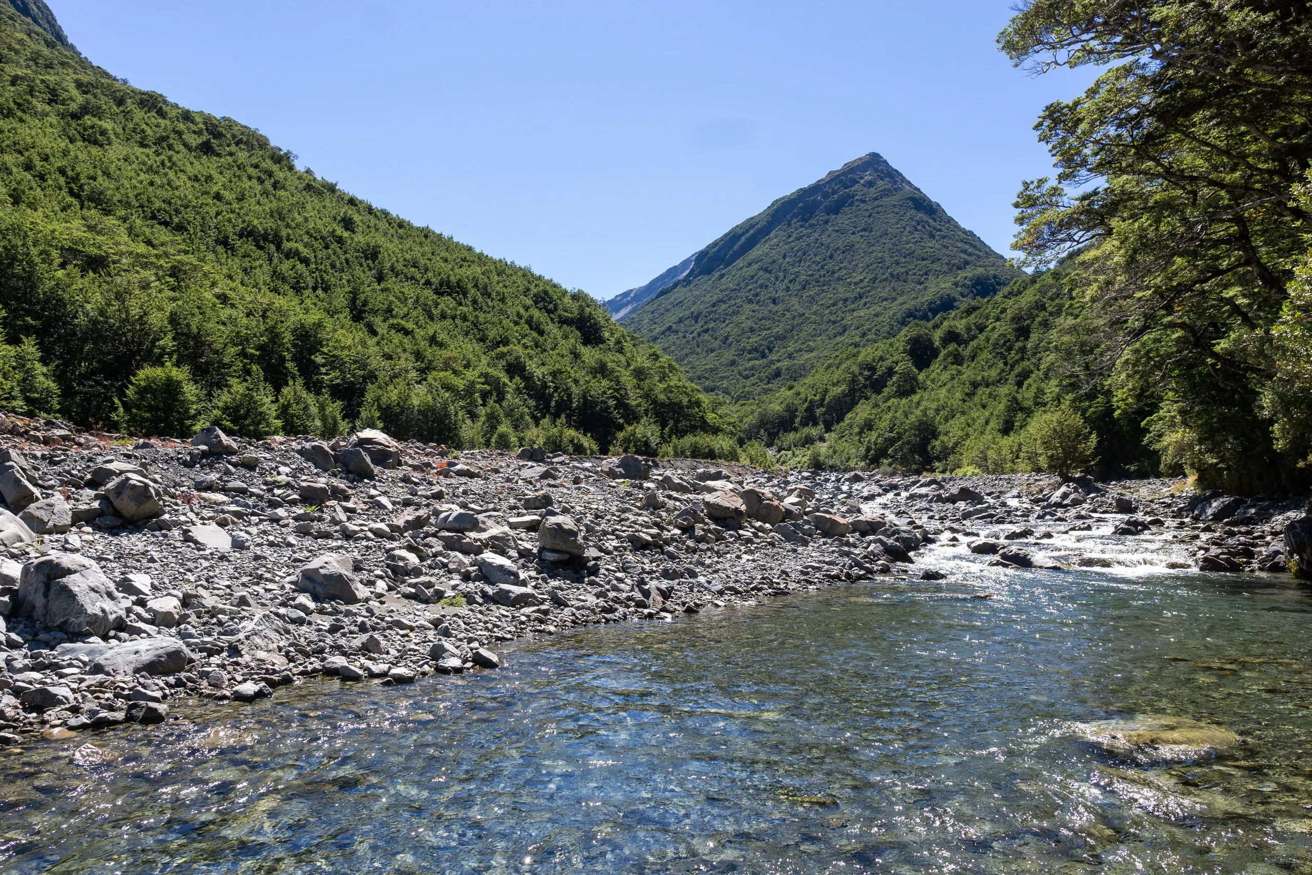
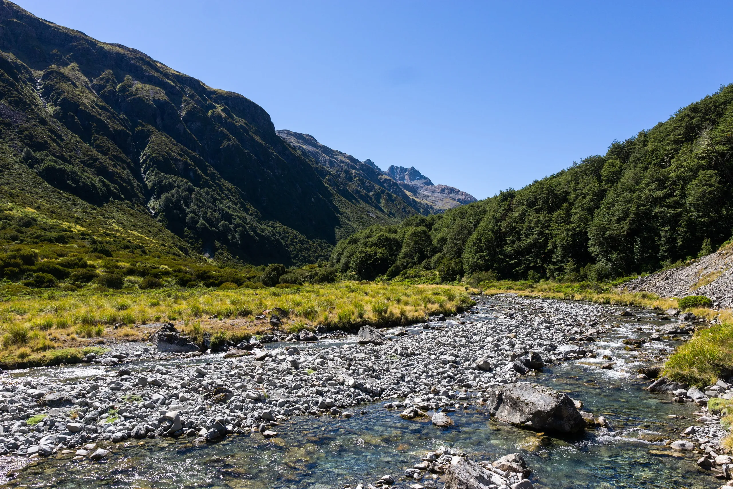
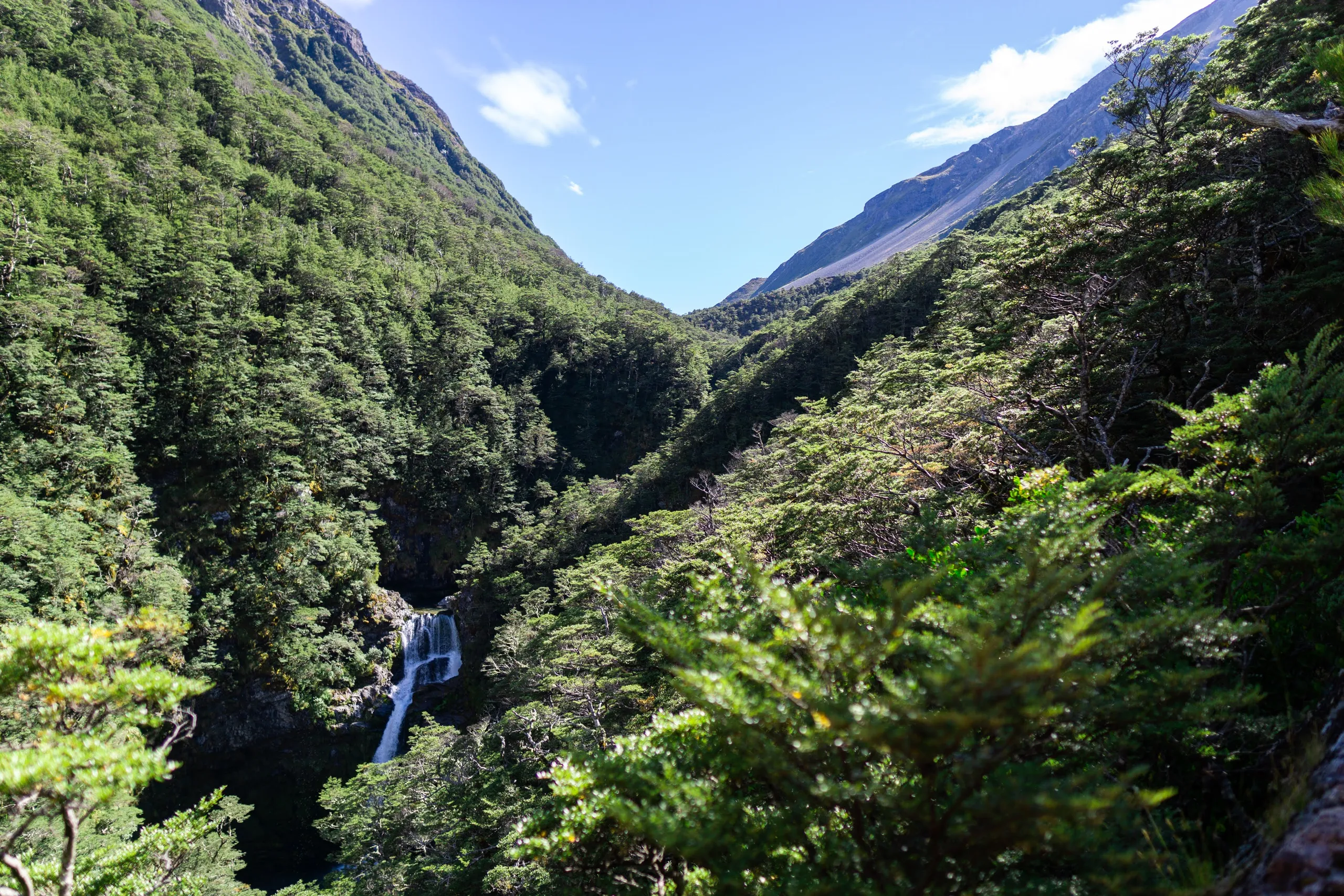
This fairly straightforward track follows Edwards River to the hut. Start at Greyneys Shelter, use the railway underpass to access Bealey River then look for a crossing towards Edwards Hut Track. Allow plenty of time for a swim in the river if you’re doing this one in warm weather.
![The group heads up Edwards River](https://c123ac9d.albert-nz.pages.dev/_app/immutable/assets/DSC08989.CqZoExEM.webp)
![One of many perfect swimming spots along the river](https://c123ac9d.albert-nz.pages.dev/_app/immutable/assets/DSC09009.UhvkX7YU.webp)
![A curious robin](https://c123ac9d.albert-nz.pages.dev/_app/immutable/assets/DSC09016.B89hOx_b.webp)
![Scenic bend in the river](https://c123ac9d.albert-nz.pages.dev/_app/immutable/assets/DSC09044.orK0MjQe.webp)
![Polar Range at night](https://c123ac9d.albert-nz.pages.dev/_app/immutable/assets/DSC09070.CP3XgB8J.webp)
![20m waterfall viewed from the track](https://c123ac9d.albert-nz.pages.dev/_app/immutable/assets/DSC09074.C04w5qja.webp)