Buckland Peaks Hut
- Distance
- 21.4 km
- Vertical gain
- 1,472m
- Duration
- 0d23h55m
Approaching the end of a period of unemployment, I went hunting for a rewarding solo weeknight trip. Buckland Peaks Hut fit the bill perfectly: not too difficult and a good chance to be up a hill in the West Coast during a period of calm weather.
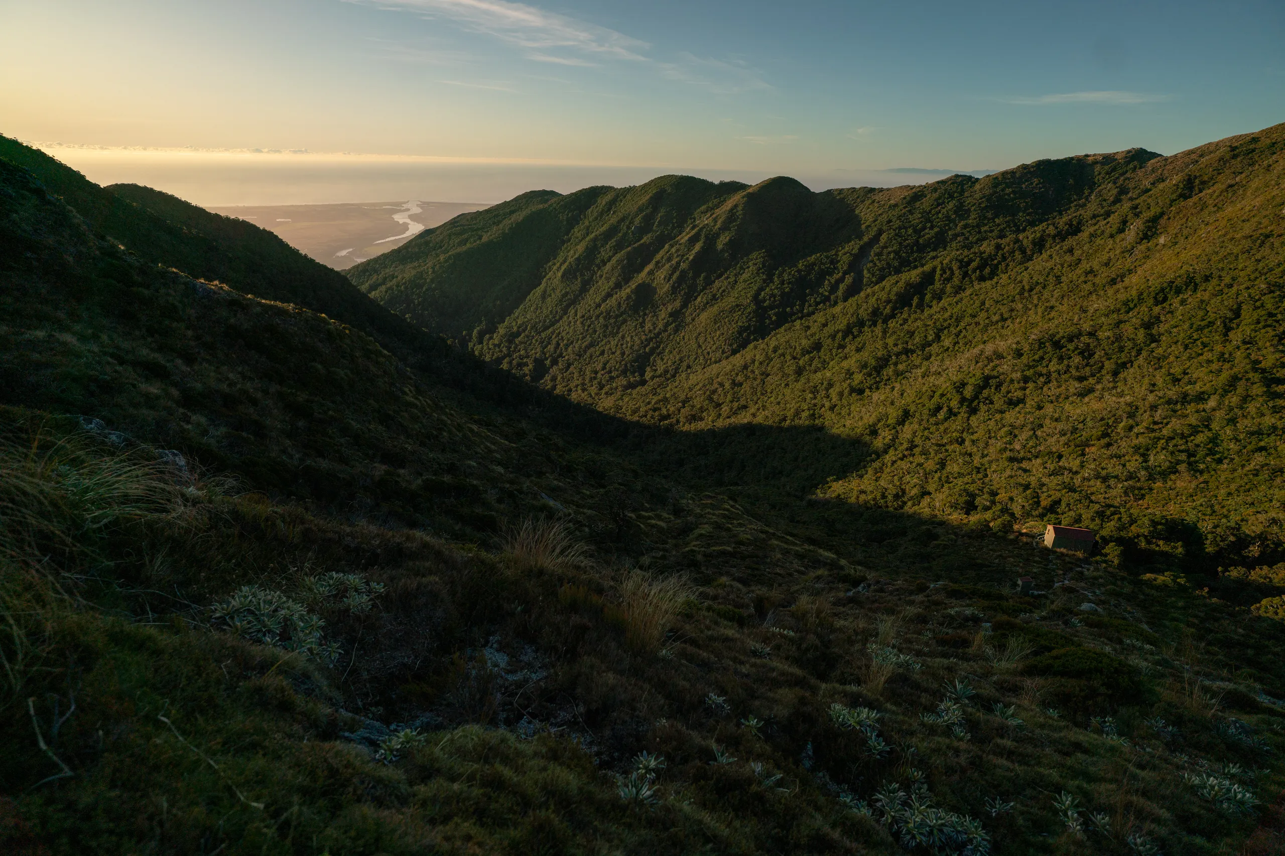
The track to Buckland Peaks Hut starts at the carpark situated at the end of Bucklands Peak Road*. The first 5.5 kilometres of hiking follows the private section of the road, crossing farmland to reach the base of the hills. Note that this section is accessible on foot only, as the landowner has disallowed bicycle and vehicle travel. The track is well-marked through intersecting farm tracks, and with some tactical jogging along the way I reached the hills in a bit under an hour. At this point the track crosses a fenceline then follows a spur steadily up to the bushline.
Just above the bushline is a short stretch of tops travel to a saddle, at which point the poled route drops down to the hut which is about a 10 minute walk down rocky terrain. Reaching the hut from the carpark is noted by DOC as taking five hours, but I found it doable in just over 3.5 hours. Your mileage may vary, but getting up to the hut and back down would be quite possible as a daytrip.
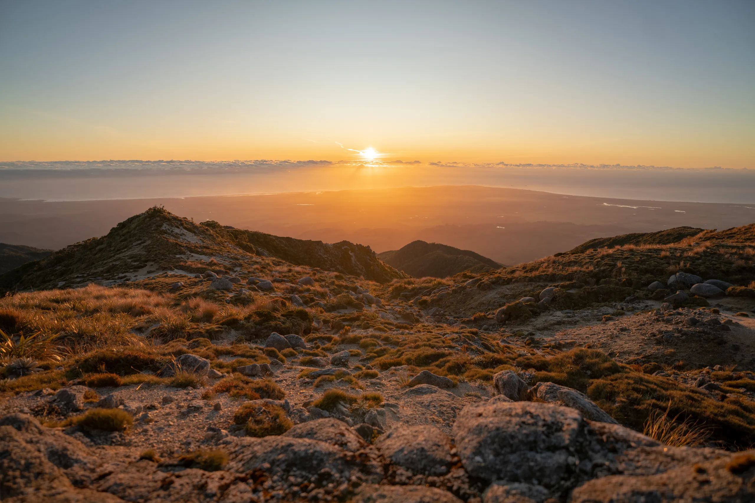
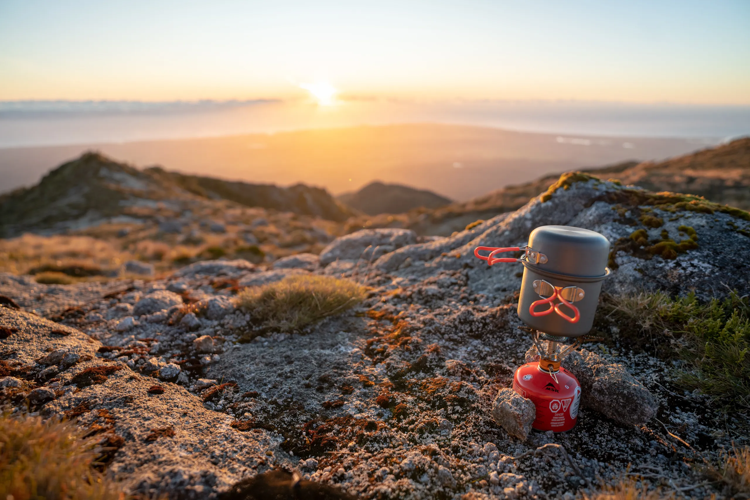
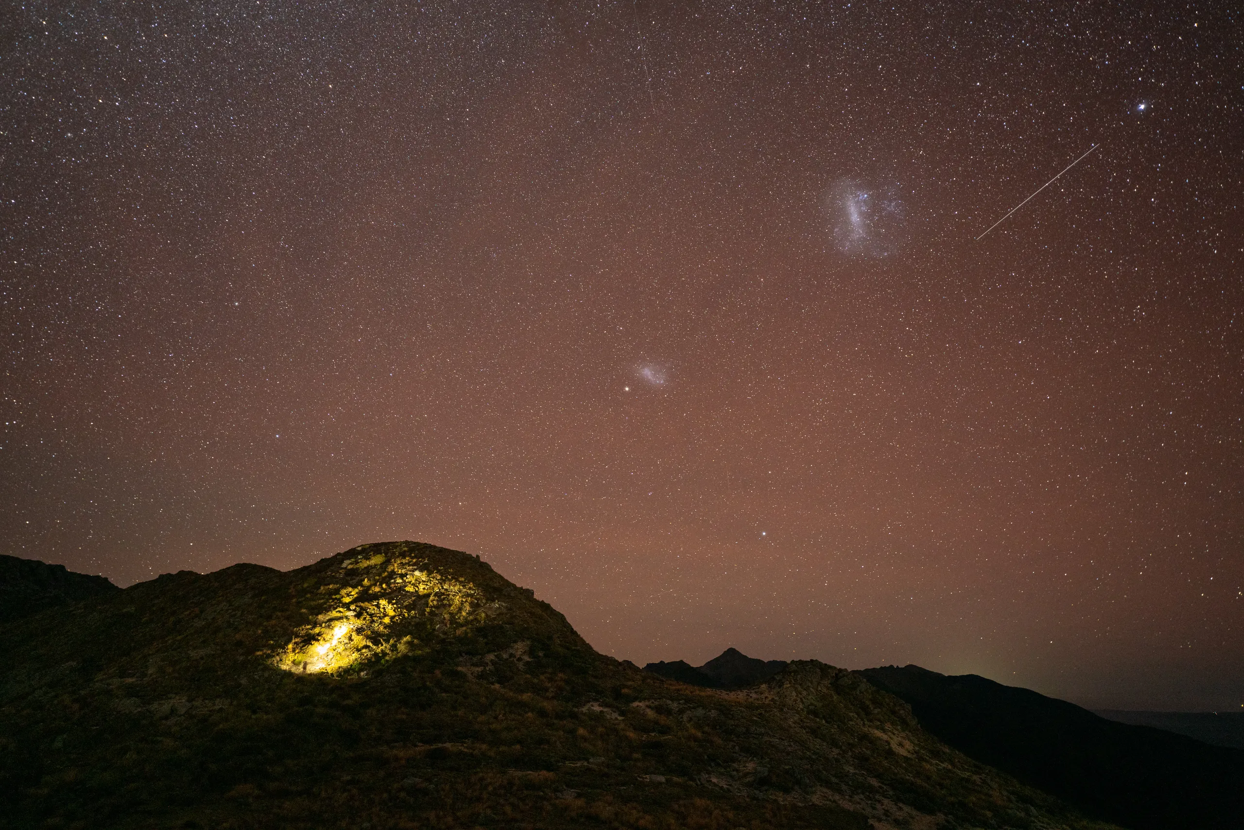
After refilling water bottles at the hut, I ascended back up to the saddle with a cooker to eat soup while watching the sunset. The view out to the coast was glorious on this pristine winter’s evening. With barely a breeze in the air, I enjoyed the peaceful moment.
The hut is weathertight and double-glazed, and it retained its heat well into the evening. That said, it lacks a fireplace and modern insulation, leading to a chilly morning after being woken by a mouse in the ceiling.
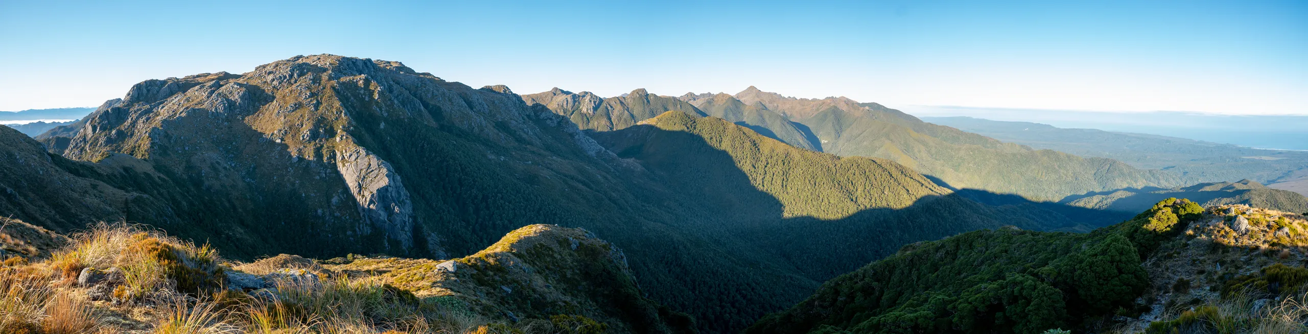
Judging by the intentions book, it is common to walk up to Buckland Peaks themselves on the second day, before descending in the afternoon. I walked along the ridge to get a better view of the peaks but decided not to venture any further, to allow myself plenty of time to drive back to Christchurch. It’s epic country up here, and somewhere I’d love to come back to one day for more exploration.
* The naming I experienced along this track was weirdly inconsistent. The hut is called “Buckland Peaks Hut”. The peaks are called “Buckland Peaks”. But, somehow, the road is called “Bucklands Peak Road” and there are plenty of signs talking about “Buckland Peak Hut” and other permutations. It seems like nobody could remember the correct name—or that there are definitely multiple peaks.